

De Gasques à St Maurin

tracegps
Gebruiker

Lengte
18,1 km

Max. hoogte
100 m

Positief hoogteverschil
219 m

Km-Effort
21 km

Min. hoogte
56 m

Negatief hoogteverschil
219 m
Boucle
Ja
Datum van aanmaak :
2014-12-10 00:00:00.0
Laatste wijziging :
2014-12-10 00:00:00.0
2h30
Moeilijkheid : Medium

Gratisgps-wandelapplicatie
Over ons
Tocht Mountainbike van 18,1 km beschikbaar op Bretagne, Ille-et-Vilaine, Liffré. Deze tocht wordt voorgesteld door tracegps.
Beschrijving
Le départ se situe sur la D46 au lieu dit "la Prairie de Cicognac". Venant de Cahors ou de Valence d'Agen au changement de direction de la D953 vers la D46 (Castelsagrat-Gasques), faites 300m sur la gauche, un parking avec arrêt de bus, c'est le point de départ.
Plaatsbepaling
Land:
France
Regio :
Bretagne
Departement/Provincie :
Ille-et-Vilaine
Gemeente :
Liffré
Locatie:
Unknown
Vertrek:(Dec)
Vertrek:(UTM)
605469 ; 5336265 (30U) N.
Opmerkingen
Wandeltochten in de omgeving
Les Jacinthes


Te voet
Gemakkelijk
Liffré,
Bretagne,
Ille-et-Vilaine,
France

4,2 km | 4,9 km-effort
1h 6min
Ja
Circuit des Écures


Te voet
Gemakkelijk
Liffré,
Bretagne,
Ille-et-Vilaine,
France

13,6 km | 15,5 km-effort
3h 31min
Ja
Circuit du Gué Renaie


Te voet
Gemakkelijk
Liffré,
Bretagne,
Ille-et-Vilaine,
France

5,9 km | 6,9 km-effort
1h 34min
Ja
Le Petit Pèlerin


Te voet
Gemakkelijk
Acigné,
Bretagne,
Ille-et-Vilaine,
France

9,5 km | 10,6 km-effort
2h 23min
Ja
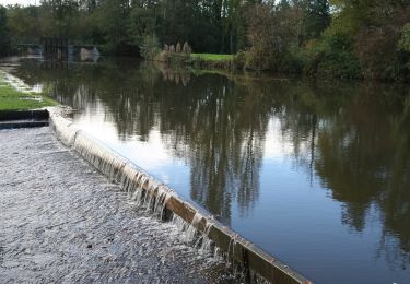
Circuit de la Caleuvre


Te voet
Gemakkelijk
Betton,
Bretagne,
Ille-et-Vilaine,
France

15,2 km | 17,3 km-effort
3h 55min
Ja
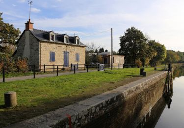
Circuit de Pluvignon


Te voet
Gemakkelijk
Betton,
Bretagne,
Ille-et-Vilaine,
France

7,4 km | 8 km-effort
1h 49min
Ja
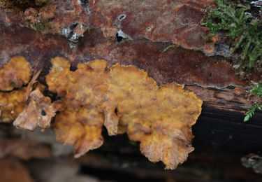
Circuit de l'Aqueduc


Te voet
Gemakkelijk
Liffré,
Bretagne,
Ille-et-Vilaine,
France

10,4 km | 11,9 km-effort
2h 42min
Ja

Circuit des Pèlerins


Te voet
Gemakkelijk
Acigné,
Bretagne,
Ille-et-Vilaine,
France

16,8 km | 18,7 km-effort
4h 15min
Ja
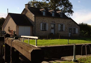
Chemin des Amoureux


Te voet
Gemakkelijk
Chevaigné,
Bretagne,
Ille-et-Vilaine,
France

5,1 km | 5,8 km-effort
1h 18min
Ja


 SityTrail


