


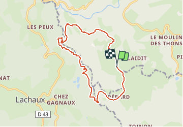

7,4 km | 10,8 km-effort

Gebruiker


Gratisgps-wandelapplicatie
 SityTrail
IGN / Geografische instituten
SityTrail World
De wereld gaat voor u open
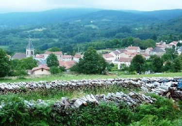
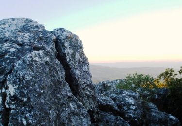
Tocht Stappen van 8,1 km beschikbaar op Auvergne-Rhône-Alpes, Allier, Ferrières-sur-Sichon. Deze tocht wordt voorgesteld door tracegps.
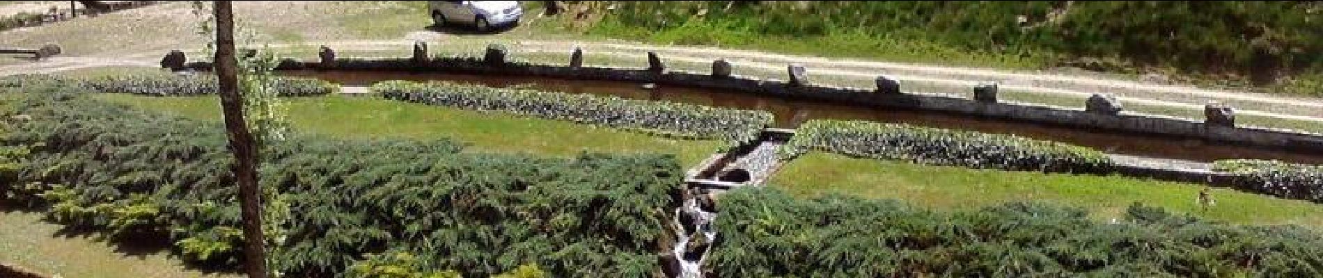
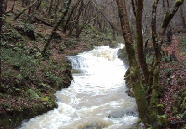
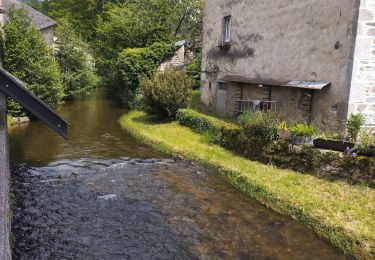
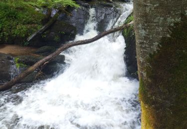
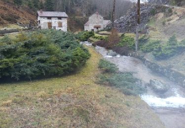
Très beau circuit - site du moulin de Theux à voir absolument - vallon frais en été.


Stappen
Stappen
Stappen
Trail
Te voet

Andere activiteiten
Mountainbike
Stappen
Andere activiteiten