


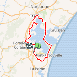

15,3 km | 22 km-effort


Gebruiker


Gratisgps-wandelapplicatie
 SityTrail
IGN / Geografische instituten
SityTrail World
De wereld gaat voor u open
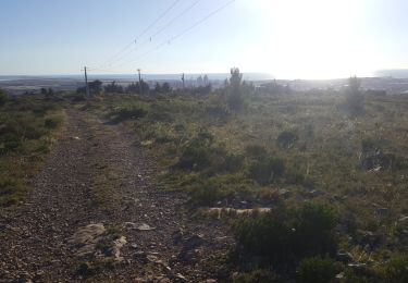
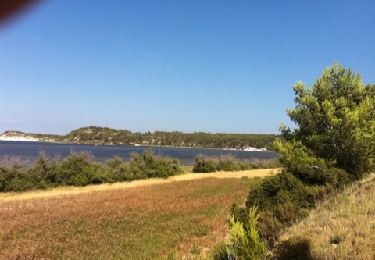
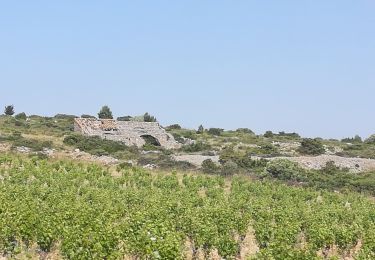
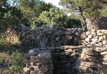
Tocht Mountainbike van 57 km beschikbaar op Occitanië, Aude, Sigean. Deze tocht wordt voorgesteld door tracegps.
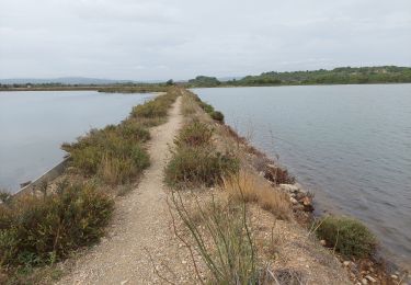
Tour cherché et réussi, au plus près de ces étangs : un must. Attention au secteur au nord de Sigean autour de La Coutive et au dessus de Port la Nouvelle très cassant avant d'arriver aux éoliennes.
Stappen

Te voet
Stappen
Ezelwandeling

Stappen
Stappen
Stappen
Stappen