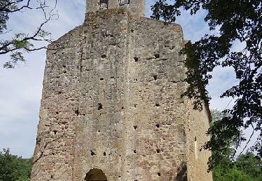

Circuit des oiseaux - Simorre

tracegps
Gebruiker

Lengte
52 km

Max. hoogte
349 m

Positief hoogteverschil
1156 m

Km-Effort
68 km

Min. hoogte
196 m

Negatief hoogteverschil
1158 m
Boucle
Ja
Datum van aanmaak :
2014-12-10 00:00:00.0
Laatste wijziging :
2014-12-10 00:00:00.0
5h10
Moeilijkheid : Zeer moeilijk

Gratisgps-wandelapplicatie
Over ons
Tocht Mountainbike van 52 km beschikbaar op Occitanië, Gers, Simorre. Deze tocht wordt voorgesteld door tracegps.
Beschrijving
Circuit support du Raid VTT de l'Astarac en Juillet 2010. Pour VTTiste endurant car long de 52km et dénivelé important. Peut-être raccourci de 15 km si on reste sur la boucle principale. La boucle du Sud est très éprouvante mais permet de découvrir de beaux singles tracks.
Plaatsbepaling
Land:
France
Regio :
Occitanië
Departement/Provincie :
Gers
Gemeente :
Simorre
Locatie:
Unknown
Vertrek:(Dec)
Vertrek:(UTM)
317148 ; 4813452 (31T) N.
Opmerkingen
Wandeltochten in de omgeving

Du cours de la Lauze à Faget-Abatial


Mountainbike
Medium
Simorre,
Occitanië,
Gers,
France

18,5 km | 24 km-effort
1h 30min
Ja


Simorre


Mountainbike
Zeer moeilijk
Simorre,
Occitanië,
Gers,
France

50 km | 65 km-effort
4h 13min
Ja


50


Elektrische fiets
Heel gemakkelijk
Simorre,
Occitanië,
Gers,
France

2,4 km | 2,9 km-effort
19min
Neen


 SityTrail


