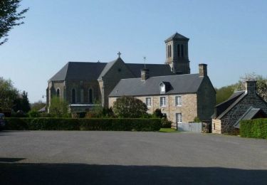
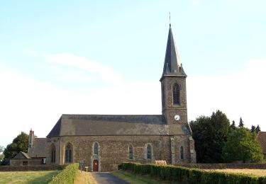
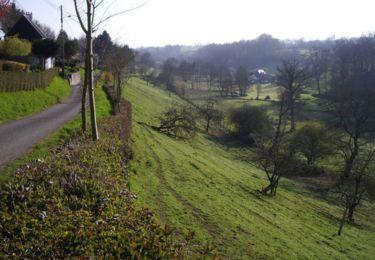
Tocht Mountainbike Tinchebray-Bocage - Vente Roulleaux, Le Tertre, Lonlay l'Abbaye - Photo

Vente Roulleaux, Le Tertre, Lonlay l'Abbaye

 tracegps
tracegps

Gebruiker

© OpenStreetMap contributors
Lengte
Lengte
25 km
Max. hoogte
Max. hoogte
291 m
Positief hoogteverschil
491 m
Km-Effort
Km-Effort  
32 km
Min. hoogte
Min. hoogte
144 m
Negatief hoogteverschil
482 m
Boucle
Boucle
Neen
Datum van aanmaak :
2014-12-10 00:00:00.0
Laatste wijziging :
2014-12-10 00:00:00.0

(0 Bericht)

Mountainbike
Mountainbike
1h55
Moeilijkheid : Medium

Scan deze QR-code om de tocht te openen in de SityTrail-applicatie

Gratisgps-wandelapplicatie

Logo SityTrail SityTrail

IGN / Geografische instituten

SityTrail uit de App Store downloaden SityTrail uit Google Play downloaden

Logo SityTrail SityTrail World

De wereld gaat voor u open

SityTrail uit de App Store downloaden SityTrail uit Google Play downloaden SityTrail op Huawei AppGallery downloaden

Over ons

Tocht Mountainbike van 25 km beschikbaar op Normandië, Orne, Tinchebray-Bocage. Deze tocht wordt voorgesteld door tracegps.

Beschrijving

Circuit entre Beauchene et Lonlay l'Abbaye sur sentiers. Chemins bien tracés et assez bien encaissés même si en période hivernale, il y a de grandes chances pour que ce soit assez gras et collant. Quelques difficultés avec 3 ou 4 montées mais l'ensemble reste très agréable. Passage au Tertre, un des derniers (voir "le" dernier) domaines en France régit comme pendant le moyen age où la terre était en libre usage pour les gens y habitant. Après Lonlay, on emprunte un morceau de la voie romaine.

Hoogteprofiel

Plaatsbepaling

Land:
France
Regio :
Normandië
Departement/Provincie :
Orne
Gemeente :
Tinchebray-Bocage
Locatie:
Beauchêne
Vertrek:(Dec)
Vertrek:(UTM)
666035 ; 5395779 (30U) N.

Wandeltochten in de omgeving

Tocht Stappen Tinchebray-Bocage - Chemin de l'Egrenne (n° 9) - Beauchêne  - Photo
Stappen
tracegps

Stappen

Medium
(1)
Tinchebray-Bocage, Normandië, Orne, France
11,2 km | 14,6 km-effort
2h 49min
Ja
Tocht Te voet Tinchebray-Bocage - Le Ruslé - Photo
Te voet
GUIDE+

Te voet

Gemakkelijk
Tinchebray-Bocage, Normandië, Orne, France
5,4 km | 6,9 km-effort
1h 34min
Neen
Tocht Stappen Tinchebray-Bocage - Michelot Moulin - Pays de Tinchebray - Photo
Stappen
tracegps

Stappen

Medium
Tinchebray-Bocage, Normandië, Orne, France
12,4 km | 15,4 km-effort
3h 0min
Ja
Tocht Te voet Tinchebray-Bocage - Chemin de l'Egrenne - Photo
Te voet
GUIDE+

Te voet

Gemakkelijk
Tinchebray-Bocage, Normandië, Orne, France
10,6 km | 14 km-effort
3h 10min
Ja
Tocht Stappen Tinchebray-Bocage - Le Ruslé  (n° 11)  - Yvrandes - Photo
Stappen
tracegps

Stappen

Gemakkelijk
Tinchebray-Bocage, Normandië, Orne, France
5,7 km | 7,3 km-effort
1h 30min
Ja
Tocht Mountainbike Tinchebray-Bocage - Boucle autour de Ger et de ses éoliennes - Photo
Mountainbike
tracegps

Mountainbike

Gemakkelijk
Tinchebray-Bocage, Normandië, Orne, France
19,9 km | 25 km-effort
2h 30min
Ja
Tocht Mountainbike Tinchebray-Bocage - Ger, Saint Jean des Bois, Yvrandes, Les Trois Cheminées - Photo
Mountainbike
tracegps

Mountainbike

Medium
Tinchebray-Bocage, Normandië, Orne, France
21 km | 27 km-effort
2h 30min
Ja
Tocht Mountainbike Tinchebray-Bocage - Vente Roulleaux, Saint Jean des Bois, Le Fresne Poret - Photo
Mountainbike
tracegps

Mountainbike

Medium
Tinchebray-Bocage, Normandië, Orne, France
22 km | 27 km-effort
1h 49min
Ja
Tocht Stappen Tinchebray-Bocage - Petiteboucle à pied - La Vente Roulleau - Photo
Stappen
tracegps

Stappen

Medium
Tinchebray-Bocage, Normandië, Orne, France
3,1 km | 4,4 km-effort
30min
Ja


Sluiten
Mijn abonnementen