23 km | 28 km-effort
VTT près d'Agneaux
tracegps
Gebruiker
Lengte
41 km
Max. hoogte
121 m
Positief hoogteverschil
567 m
Km-Effort
49 km
Min. hoogte
23 m
Negatief hoogteverschil
571 m
Boucle
Neen
Datum van aanmaak :
2014-12-10 00:00:00.0
Laatste wijziging :
2014-12-10 00:00:00.0
3h00
Moeilijkheid : Moeilijk
Gratisgps-wandelapplicatie
Over ons
Tocht Mountainbike van 41 km beschikbaar op Normandië, Manche, Agneaux. Deze tocht wordt voorgesteld door tracegps.
Beschrijving
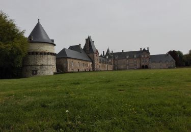
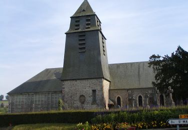
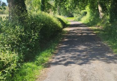
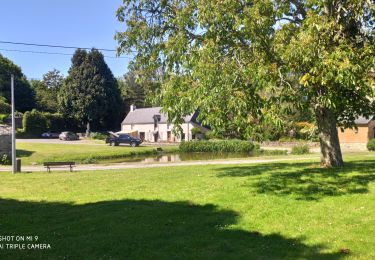
Circuit agréable à l'ouest de Saint Lo utilisant beaucoup de chemins balisés GR.
Plaatsbepaling
Land:
France
Regio :
Normandië
Departement/Provincie :
Manche
Gemeente :
Agneaux
Locatie:
Unknown
Vertrek:(Dec)
Vertrek:(UTM)
636263 ; 5442049 (30U) N.
Opmerkingen
Wandeltochten in de omgeving
Balade St-Gillaise - St-Gilles
Mountainbike
Medium
(1)
Saint-Gilles,
Normandië,
Manche,
France
2h 30min
Ja
St Gilles Château de Canisy
Stappen
Heel gemakkelijk
Saint-Gilles,
Normandië,
Manche,
France
9 km | 10,7 km-effort
2h 26min
Ja
L'Agnelaise 2014 - Agneaux
Mountainbike
Moeilijk
Agneaux,
Normandië,
Manche,
France
44 km | 52 km-effort
3h 0min
Ja
Le circuit Jean Follain - Canisy
Stappen
Medium
Canisy,
Normandië,
Manche,
France
9,2 km | 10,9 km-effort
2h 19min
Ja
Saint-Lô - La Vire et le Falaise
Stappen
Gemakkelijk
Saint-Lô,
Normandië,
Manche,
France
5,4 km | 6,6 km-effort
1h 20min
Ja
BALLADE 2 JUIN
Stappen
Heel gemakkelijk
Saint-Lô,
Normandië,
Manche,
France
3,1 km | 3,7 km-effort
51min
Ja
Ballade 2 juin 2020
Stappen
Heel gemakkelijk
Saint-Lô,
Normandië,
Manche,
France
3,6 km | 4,2 km-effort
1h 2min
Ja
Le Hutrel 27 ai 2020
Stappen
Heel gemakkelijk
Saint-Lô,
Normandië,
Manche,
France
2,3 km | 2,9 km-effort
48min
Ja