


20 km | 28 km-effort


Gebruiker


Gratisgps-wandelapplicatie
 SityTrail
IGN / Geografische instituten
SityTrail World
De wereld gaat voor u open
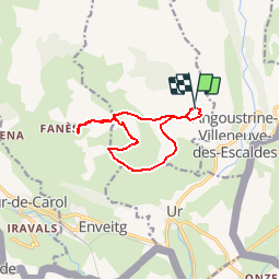
Tocht Stappen van 11,7 km beschikbaar op Occitanië, Pyrénées-Orientales, Dorres. Deze tocht wordt voorgesteld door tracegps.
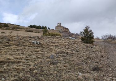
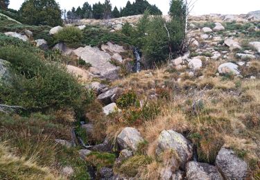
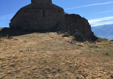
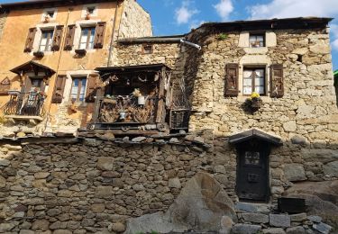
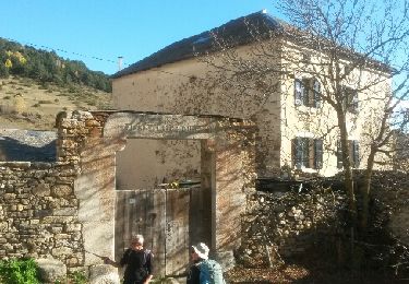
Belle balade qui part de Dorres près d'Angoustrine. La première partie se fait sur un versant sud qui domine le plateau de Cerdagne et aboutit à la chapelle Santa Maria de Belloc. La deuxième partie descend au village de Brangoli où un petit ruisseau offre une pause rafraîchissante. La troisième partie emprunte le GR Pays du Tour du Carlit. Elle conduit au point de départ en passant par les bains chauds de la source thermale de Dorres dans lesquels on pourra se prélasser.

Stappen

Stappen
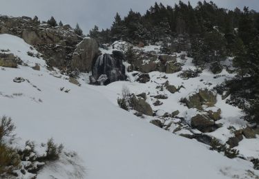
Sneeuwschoenen
Stappen
Stappen
Stappen
Stappen
Stappen
Stappen