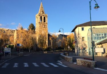
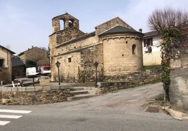
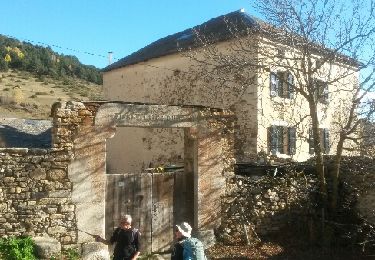
Tocht Stappen Dorres - Autour de Dorres - Photo
 tracegps
tracegps

Gebruiker

© OpenStreetMap contributors
Lengte
Lengte
11,7 km
Max. hoogte
Max. hoogte
1700 m
Positief hoogteverschil
458 m
Km-Effort
Km-Effort  
17,8 km
Min. hoogte
Min. hoogte
1412 m
Negatief hoogteverschil
470 m
Boucle
Boucle
Ja
Datum van aanmaak :
2014-12-10 00:00:00.0
Laatste wijziging :
2014-12-10 00:00:00.0

(0 Bericht)

Stappen
Stappen
4h30
Moeilijkheid : Medium

Scan deze QR-code om de tocht te openen in de SityTrail-applicatie

Gratisgps-wandelapplicatie

Logo SityTrail SityTrail

IGN / Geografische instituten

SityTrail uit de App Store downloaden SityTrail uit Google Play downloaden

Logo SityTrail SityTrail World

De wereld gaat voor u open

SityTrail uit de App Store downloaden SityTrail uit Google Play downloaden SityTrail op Huawei AppGallery downloaden

Over ons

Tocht Stappen van 11,7 km beschikbaar op Occitanië, Pyrénées-Orientales, Dorres. Deze tocht wordt voorgesteld door tracegps.

Beschrijving

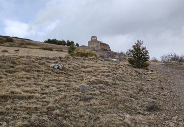
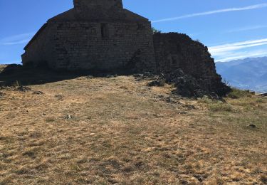
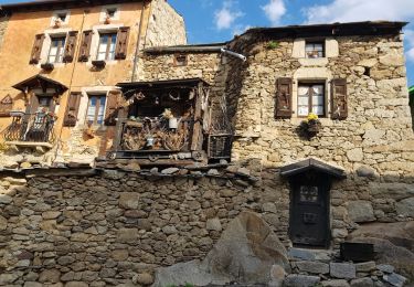
Belle balade qui part de Dorres près d'Angoustrine. La première partie se fait sur un versant sud qui domine le plateau de Cerdagne et aboutit à la chapelle Santa Maria de Belloc. La deuxième partie descend au village de Brangoli où un petit ruisseau offre une pause rafraîchissante. La troisième partie emprunte le GR Pays du Tour du Carlit. Elle conduit au point de départ en passant par les bains chauds de la source thermale de Dorres dans lesquels on pourra se prélasser.

Hoogteprofiel

POI's

POI Dorres - Start - Photo
tracegps
DORRES 
POI Dorres - End - Photo
tracegps
DORRES 

Plaatsbepaling

Land:
France
Regio :
Occitanië
Departement/Provincie :
Pyrénées-Orientales
Gemeente :
Dorres
Locatie:
Unknown
Vertrek:(Dec)
Vertrek:(UTM)
413238 ; 4704401 (31T) N.

Wandeltochten in de omgeving

Tocht Stappen Ur - de Ur vers La Chapelle de Belloc - Photo
Stappen
ThonyM

Stappen

Gemakkelijk
(1)
Ur, Occitanië, Pyrénées-Orientales, France
20 km | 28 km-effort
7h 14min
Ja
Tocht Stappen Estavar - 20220328 Estavar-Tartassonne(?) - Photo
Stappen
ThonyM

Stappen

Medium
Estavar, Occitanië, Pyrénées-Orientales, France
14,8 km | 22 km-effort
3h 16min
Ja
Tocht Sneeuwschoenen Dorres - 2021-02-10 Sortie CAF - Port de Maurà depuis Dorres - Photo
Sneeuwschoenen
eric.mignot

Sneeuwschoenen

Moeilijk
Dorres, Occitanië, Pyrénées-Orientales, France
17,9 km | 31 km-effort
9h 0min
Ja
Tocht Stappen Dorres - 2021-02-09  Sortie  CAF - Dorres - Chapelle de Belloc - Dolmen de Brangoli - Photo
Stappen
eric.mignot

Stappen

Gemakkelijk
Dorres, Occitanië, Pyrénées-Orientales, France
13 km | 19,3 km-effort
5h 0min
Ja
Tocht Stappen Dorres - d'ores 2 - Photo
Stappen
jpipacific

Stappen

Medium
Dorres, Occitanië, Pyrénées-Orientales, France
7,7 km | 11,1 km-effort
2h 46min
Ja
Tocht Stappen Enveitg - Bena - Photo
Stappen
sereton

Stappen

Medium
Enveitg, Occitanië, Pyrénées-Orientales, France
11,9 km | 21 km-effort
3h 32min
Neen
Tocht Stappen Dorres - Le chemin du Belloc - Photo
Stappen
merencianoep

Stappen

Dorres, Occitanië, Pyrénées-Orientales, France
5,6 km | 8,9 km-effort
1h 44min
Neen
Tocht Stappen Dorres - Dorres vers les estanyets - Photo
Stappen
MarieFrancoise

Stappen

Moeilijk
Dorres, Occitanië, Pyrénées-Orientales, France
18 km | 30 km-effort
8h 49min
Ja
Tocht Stappen Ur - ur - Photo
Stappen
Fildesir

Stappen

Heel gemakkelijk
Ur, Occitanië, Pyrénées-Orientales, France
18,5 km | 26 km-effort
7h 5min
Neen


Sluiten
Mijn abonnementen