


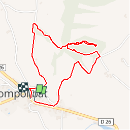


8,7 km | 13 km-effort


Gebruiker


Gratisgps-wandelapplicatie
 SityTrail
IGN / Geografische instituten
SityTrail World
De wereld gaat voor u open
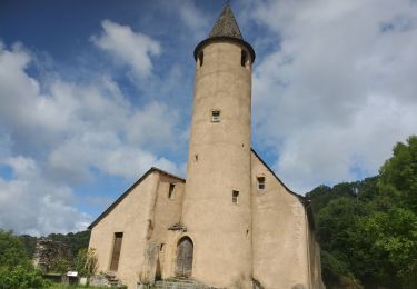
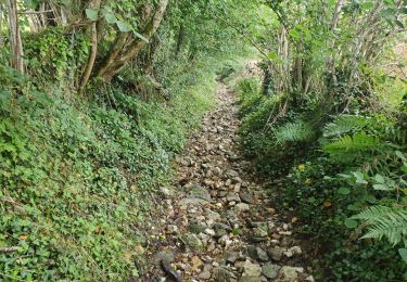
Tocht Stappen van 2,5 km beschikbaar op Occitanië, Aveyron, Compolibat. Deze tocht wordt voorgesteld door YV24.
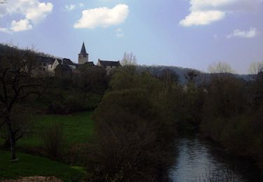
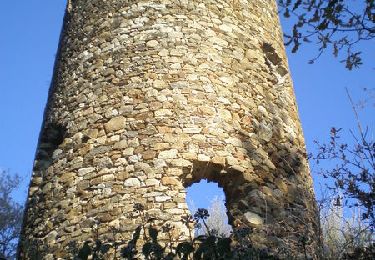
Visite sympa d'une curiosité géologique locale. Prudence sur la partie basse du parcours, par temps pluvieux ou de pluie récente.
Te voet
Te voet
Te voet
Te voet
Stappen
Stappen
Elektrische fiets
Elektrische fiets

Stappen