

Tour du Télégraphe à Villefranche de Lauragais

tracegps
Gebruiker

Lengte
12,6 km

Max. hoogte
266 m

Positief hoogteverschil
202 m

Km-Effort
15,3 km

Min. hoogte
182 m

Negatief hoogteverschil
199 m
Boucle
Ja
Datum van aanmaak :
2014-12-10 00:00:00.0
Laatste wijziging :
2014-12-10 00:00:00.0
3h10
Moeilijkheid : Medium

Gratisgps-wandelapplicatie
Over ons
Tocht Stappen van 12,6 km beschikbaar op Occitanië, Haute-Garonne, Villefranche-de-Lauragais. Deze tocht wordt voorgesteld door tracegps.
Beschrijving
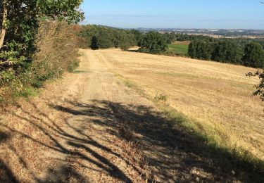
Une boucle dans le Lauragais au dessus de Villefranche en passant par une des Tours du Télégraphe de Chappe XVIIIème siècle (sur la ligne Toulouse -Marseille).
Plaatsbepaling
Land:
France
Regio :
Occitanië
Departement/Provincie :
Haute-Garonne
Gemeente :
Villefranche-de-Lauragais
Locatie:
Unknown
Vertrek:(Dec)
Vertrek:(UTM)
396540 ; 4806098 (31T) N.
Opmerkingen
Wandeltochten in de omgeving
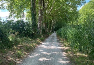
Canal du Midi


Fietstoerisme
Avignonet-Lauragais,
Occitanië,
Haute-Garonne,
France

27 km | 29 km-effort
2h 19min
Ja
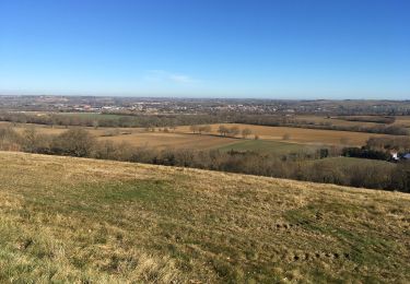
Canal du Midi


Stappen
Moeilijk
Gardouch,
Occitanië,
Haute-Garonne,
France

10,5 km | 12,7 km-effort
2h 32min
Ja
Avignonet - Donneville


Stappen
Medium
Avignonet-Lauragais,
Occitanië,
Haute-Garonne,
France

29 km | 31 km-effort
Onbekend
Neen
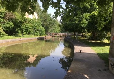
Le canal du Midi


Stappen
Moeilijk
Gardouch,
Occitanië,
Haute-Garonne,
France

11,2 km | 12,1 km-effort
2h 34min
Neen
Les Collines du Lauragais


Stappen
Gardouch,
Occitanië,
Haute-Garonne,
France

8,3 km | 10,1 km-effort
2h 21min
Ja
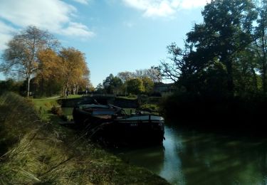
lamarasse2h15


Stappen
Heel gemakkelijk
Vieillevigne,
Occitanië,
Haute-Garonne,
France

10,1 km | 10,9 km-effort
2h 9min
Neen
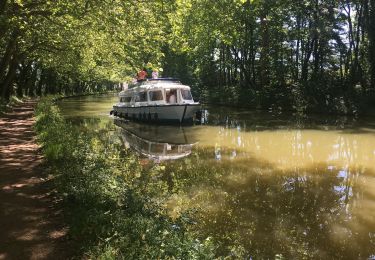
Avignonet-Castelnaudary


Elektrische fiets
Avignonet-Lauragais,
Occitanië,
Haute-Garonne,
France

40 km | 0 m-effort
3h 13min
Ja
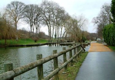
Canal du Midi - En Cassan - Col de Naurouze


Stappen
Gemakkelijk
Avignonet-Lauragais,
Occitanië,
Haute-Garonne,
France

6,8 km | 7,4 km-effort
1h 19min
Neen
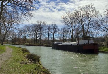
Canal du Midi - Ecluse de Laval - En Cassan


Stappen
Gemakkelijk
Gardouch,
Occitanië,
Haute-Garonne,
France

8,4 km | 8,9 km-effort
1h 40min
Neen


 SityTrail


