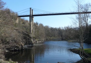
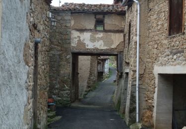
Tocht Stappen Chilhac - Le plateau d'Ally - Photo
 tracegps
tracegps

Gebruiker

© OpenStreetMap contributors
Lengte
Lengte
23 km
Max. hoogte
Max. hoogte
1062 m
Positief hoogteverschil
845 m
Km-Effort
Km-Effort  
33 km
Min. hoogte
Min. hoogte
459 m
Negatief hoogteverschil
370 m
Boucle
Boucle
Neen
Datum van aanmaak :
2014-12-10 00:00:00.0
Laatste wijziging :
2014-12-10 00:00:00.0

(0 Bericht)

Stappen
Stappen
6h00
Moeilijkheid : Moeilijk

Scan deze QR-code om de tocht te openen in de SityTrail-applicatie

Gratisgps-wandelapplicatie

Logo SityTrail SityTrail

IGN / Geografische instituten

SityTrail uit de App Store downloaden SityTrail uit Google Play downloaden

Logo SityTrail SityTrail World

De wereld gaat voor u open

SityTrail uit de App Store downloaden SityTrail uit Google Play downloaden SityTrail op Huawei AppGallery downloaden

Over ons

Tocht Stappen van 23 km beschikbaar op Auvergne-Rhône-Alpes, Haute-Loire, Chilhac. Deze tocht wordt voorgesteld door tracegps.

Beschrijving

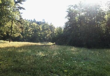
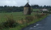
Une montée lente sur le plateau d'Ally dans le Cantal, en direction des fameuses éoliennes, depuis le village de Chilhac en haute-Loire. L'itinéraire à travers bois est propice à la découverte de multiples espèces de champignons... comestibles bien sur!

Hoogteprofiel

Foto's

POI's

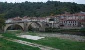
POI Chilhac - départ - Photo
tracegps
CHILHAC 
POI Ally - Moulin d'Ally - Photo
tracegps

Plaatsbepaling

Land:
France
Regio :
Auvergne-Rhône-Alpes
Departement/Provincie :
Haute-Loire
Gemeente :
Chilhac
Locatie:
Unknown
Vertrek:(Dec)
Vertrek:(UTM)
534327 ; 5000637 (31T) N.

Wandeltochten in de omgeving

Tocht Stappen Villeneuve-d'Allier - 2019-03-28 16:49:26 - Photo
Stappen
GilGry

Stappen

Zeer moeilijk
Villeneuve-d'Allier, Auvergne-Rhône-Alpes, Haute-Loire, France
26 km | 36 km-effort
7h 36min
Ja
Tocht Mountainbike Chilhac - vtt chilhac - langeac - Photo
Mountainbike
malaki

Mountainbike

Medium
Chilhac, Auvergne-Rhône-Alpes, Haute-Loire, France
29 km | 38 km-effort
3h 9min
Ja
Tocht Mountainbike Saint-Privat-du-Dragon - chilhac - lavaudieu - Photo
Mountainbike
malaki

Mountainbike

Medium
Saint-Privat-du-Dragon, Auvergne-Rhône-Alpes, Haute-Loire, France
46 km | 60 km-effort
3h 56min
Neen
Tocht Stappen Villeneuve-d'Allier - Villeneuve d'Allier - Photo
Stappen
tracegps

Stappen

Medium
Villeneuve-d'Allier, Auvergne-Rhône-Alpes, Haute-Loire, France
14,2 km | 20 km-effort
4h 0min
Ja
Tocht Paardrijden Chilhac - Caracolade J7 Chilhac Siaugues fait  - Photo
Paardrijden
crinièresdumeygal

Paardrijden

Heel gemakkelijk
Chilhac, Auvergne-Rhône-Alpes, Haute-Loire, France
26 km | 34 km-effort
7h 20min
Neen
Tocht Stappen Lavoûte-Chilhac - lavoute chillac Langeac  - Photo
Stappen
COUROUSBERNARD

Stappen

Zeer moeilijk
Lavoûte-Chilhac, Auvergne-Rhône-Alpes, Haute-Loire, France
19,5 km | 28 km-effort
5h 30min
Neen
Tocht Stappen Chilhac - Chilhac -Falaises du Blot -Chilhac - Photo
Stappen
phcol

Stappen

Medium
(1)
Chilhac, Auvergne-Rhône-Alpes, Haute-Loire, France
8,7 km | 11,7 km-effort
2h 29min
Ja
Tocht Mountainbike Chilhac - Boucle VTT Chilhac- St Ilpize- Lavaudieu- Domeyrat -Chilhac - Photo
Mountainbike
phcol

Mountainbike

Zeer moeilijk
Chilhac, Auvergne-Rhône-Alpes, Haute-Loire, France
44 km | 59 km-effort
3h 54min
Ja
Tocht Te voet Chilhac - Chilhac-St Ilpize- Chlihac - Photo
Te voet
phcol

Te voet

Heel gemakkelijk
Chilhac, Auvergne-Rhône-Alpes, Haute-Loire, France
17,1 km | 23 km-effort
Onbekend
Ja


Sluiten
Mijn abonnementen