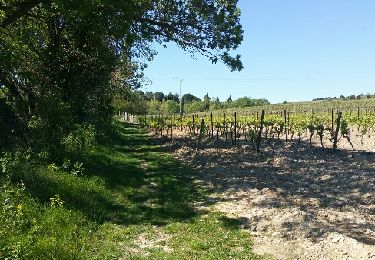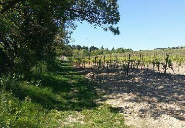

Les perdrix - Alairac

tracegps
Gebruiker

Lengte
11,1 km

Max. hoogte
317 m

Positief hoogteverschil
219 m

Km-Effort
14 km

Min. hoogte
163 m

Negatief hoogteverschil
214 m
Boucle
Ja
Datum van aanmaak :
2014-12-10 00:00:00.0
Laatste wijziging :
2014-12-10 00:00:00.0
3h00
Moeilijkheid : Gemakkelijk

Gratisgps-wandelapplicatie
Over ons
Tocht Stappen van 11,1 km beschikbaar op Occitanië, Aude, Lavalette. Deze tocht wordt voorgesteld door tracegps.
Beschrijving
Départ devant le foyer municipal d'Alairac. Parcourir au départ ou à l'arrivée, la circulade d'Alairac. (pas enregistrée dans le fichier gpx)
Plaatsbepaling
Land:
France
Regio :
Occitanië
Departement/Provincie :
Aude
Gemeente :
Lavalette
Locatie:
Unknown
Vertrek:(Dec)
Vertrek:(UTM)
440456 ; 4781601 (31T) N.
Opmerkingen
Wandeltochten in de omgeving

preixan


Stappen
Heel gemakkelijk
(1)
Preixan,
Occitanië,
Aude,
France

9,1 km | 12,1 km-effort
2h 42min
Ja

2021-09-20_11h56m18_les-justices


Stappen
Medium
(1)
Leuc,
Occitanië,
Aude,
France

6,2 km | 8,5 km-effort
1h 55min
Ja

roullens-lac de taure 01 VM


Stappen
Medium
(1)
Roullens,
Occitanië,
Aude,
France

7,5 km | 9,4 km-effort
2h 7min
Ja

promenade du domaine fantôme


Stappen
Heel gemakkelijk
Roullens,
Occitanië,
Aude,
France

7,3 km | 9,2 km-effort
1h 57min
Ja

promenade du domaine fantôme


Stappen
Heel gemakkelijk
Roullens,
Occitanië,
Aude,
France

7,3 km | 9,2 km-effort
1h 57min
Ja

Chemin du Piémont Pyrénéen - Arzens à Fanjeaux


Stappen
Moeilijk
Arzens,
Occitanië,
Aude,
France

18,7 km | 24 km-effort
6h 0min
Neen


Couffoulens Verzeille Leuc


Mountainbike
Gemakkelijk
Couffoulens,
Occitanië,
Aude,
France

14 km | 17,5 km-effort
1h 0min
Ja

PREIXAN : Dans les vignes et les champs


Stappen
Medium
Preixan,
Occitanië,
Aude,
France

8,4 km | 11,7 km-effort
2h 39min
Ja


 SityTrail


chaud