


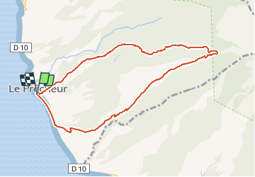

3,6 km | 7,2 km-effort


Gebruiker


Gratisgps-wandelapplicatie
 SityTrail
IGN / Geografische instituten
SityTrail World
De wereld gaat voor u open
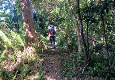
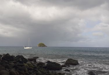
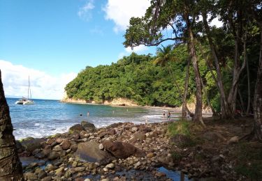
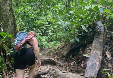
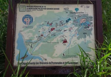
Tocht Noords wandelen van 12,6 km beschikbaar op Martinique, Onbekend, Le Prêcheur. Deze tocht wordt voorgesteld door SamyOne.
Stappen
Stappen
Stappen
Stappen
Stappen
Stappen

Stappen
Stappen
Stappen