


11,2 km | 14,6 km-effort

Gebruiker


Gratisgps-wandelapplicatie
 SityTrail
IGN / Geografische instituten
SityTrail World
De wereld gaat voor u open
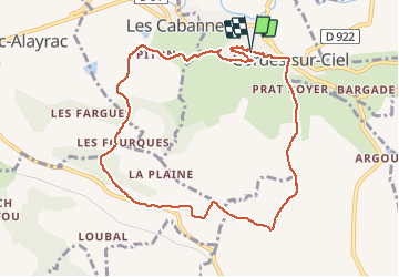
Tocht Stappen van 9,7 km beschikbaar op Occitanië, Tarn, Cordes-sur-Ciel. Deze tocht wordt voorgesteld door tracegps.
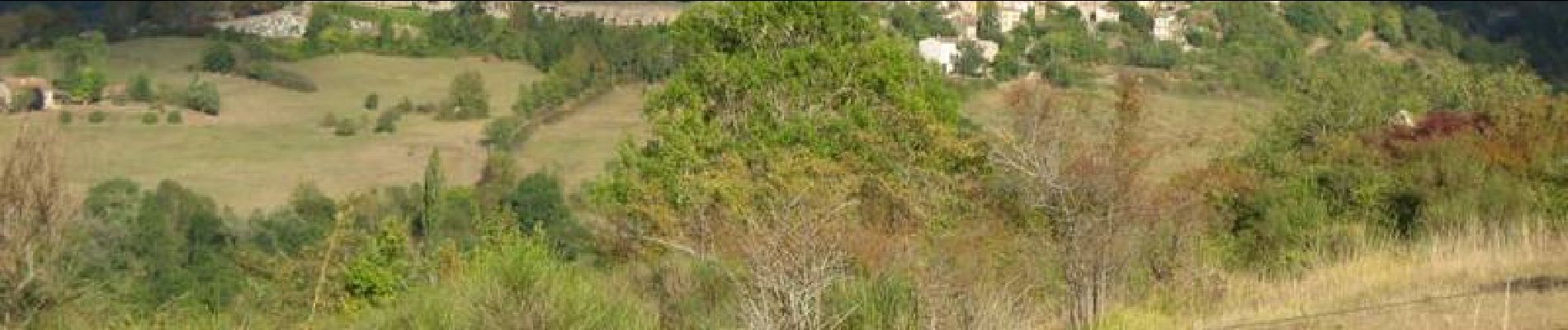
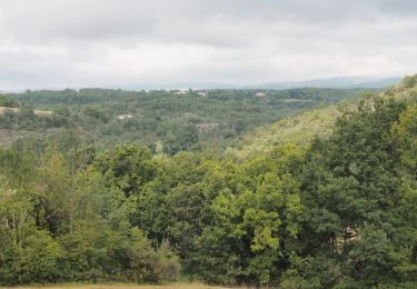
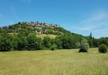
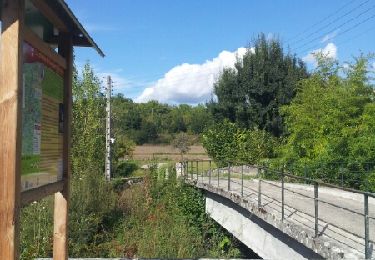
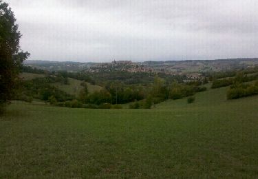
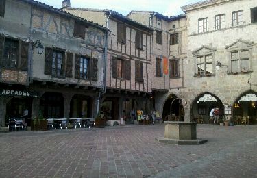
Cette jolie boucle fait découvrir de beaux panoramas sur Cordes ( voir les photos ). Du cœur de la cité médiévale, on descend vers le bourg du Bouysset, puis dans la vallée que domine Cordes. On rejoint le GR 46, qui sera suivi durant quelques kilomètres. La boucle s'effectue alors à travers un petit causse offrant de belles vues sur Cordes et la région.


Stappen
Stappen
Stappen
Stappen
Stappen
Stappen
Stappen
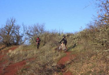
Mountainbike
Mountainbike