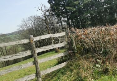
8,5 km | 12,4 km-effort
Boucle N°1 autour de Clermain
tracegps
Gebruiker
Lengte
22 km
Max. hoogte
523 m
Positief hoogteverschil
653 m
Km-Effort
31 km
Min. hoogte
265 m
Negatief hoogteverschil
653 m
Boucle
Ja
Datum van aanmaak :
2014-12-10 00:00:00.0
Laatste wijziging :
2014-12-10 00:00:00.0
5h00
Moeilijkheid : Medium
Gratisgps-wandelapplicatie
Over ons
Tocht Stappen van 22 km beschikbaar op Bourgondië-Franche-Comté, Saône-et-Loire, Navour-sur-Grosne. Deze tocht wordt voorgesteld door tracegps.
Beschrijving
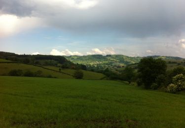
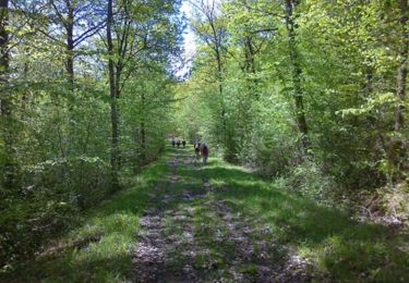
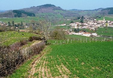
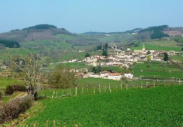
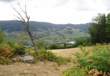
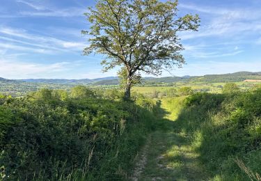
Petite randonnée en grande partie ombragée qui vous fera découvrir le Haut Clunysois.
Plaatsbepaling
Land:
France
Regio :
Bourgondië-Franche-Comté
Departement/Provincie :
Saône-et-Loire
Gemeente :
Navour-sur-Grosne
Locatie:
Unknown
Vertrek:(Dec)
Vertrek:(UTM)
621801 ; 5135896 (31T) N.
Opmerkingen
Wandeltochten in de omgeving
Brandon 8,5 km
Stappen
Medium
Navour-sur-Grosne,
Bourgondië-Franche-Comté,
Saône-et-Loire,
France
2h 55min
Ja
bergesserin
Stappen
Medium
Bergesserin,
Bourgondië-Franche-Comté,
Saône-et-Loire,
France
5,6 km | 7,7 km-effort
2h 11min
Ja
Le haut clunisois
Stappen
Medium
Sainte-Cécile,
Bourgondië-Franche-Comté,
Saône-et-Loire,
France
14,9 km | 19,6 km-effort
4h 0min
Ja
bourgvilain
Stappen
Moeilijk
Sainte-Cécile,
Bourgondië-Franche-Comté,
Saône-et-Loire,
France
6,4 km | 9,4 km-effort
2h 15min
Neen
Trambly - Saint Leger sous la Bussière
Stappen
Heel gemakkelijk
Trambly,
Bourgondië-Franche-Comté,
Saône-et-Loire,
France
12,8 km | 18,5 km-effort
3h 54min
Ja
Rando du 1er Mai - Curtil sous Buffières
Stappen
Moeilijk
Curtil-sous-Buffières,
Bourgondië-Franche-Comté,
Saône-et-Loire,
France
25 km | 33 km-effort
5h 30min
Ja
Les Serpentines (2012-VTT-25km) - Trambly
Mountainbike
Moeilijk
Trambly,
Bourgondië-Franche-Comté,
Saône-et-Loire,
France
25 km | 36 km-effort
2h 30min
Ja
Les Serpentines (2012-VTT-35km) - Trambly
Mountainbike
Zeer moeilijk
Trambly,
Bourgondië-Franche-Comté,
Saône-et-Loire,
France
36 km | 52 km-effort
3h 0min
Ja
Les Echeliers - Brandon
Stappen
Medium
Navour-sur-Grosne,
Bourgondië-Franche-Comté,
Saône-et-Loire,
France
9,6 km | 14,2 km-effort
2h 45min
Ja