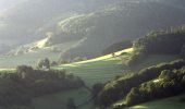
Tocht Mountainbike Sainte-Croix-aux-Mines - Espace VTT FFC Val d'Argent - Circuit n°11 - Montplaisir - Photo

Espace VTT FFC Val d'Argent - Circuit n°11 - Montplaisir

 tracegps
tracegps

Gebruiker

© OpenStreetMap contributors
Lengte
Lengte
10,3 km
Max. hoogte
Max. hoogte
417 m
Positief hoogteverschil
203 m
Km-Effort
Km-Effort  
13 km
Min. hoogte
Min. hoogte
280 m
Negatief hoogteverschil
203 m
Boucle
Boucle
Ja
Datum van aanmaak :
2014-12-10 00:00:00.0
Laatste wijziging :
2014-12-10 00:00:00.0

(0 Bericht)

Mountainbike
Mountainbike
1h00
Moeilijkheid : Medium

Scan deze QR-code om de tocht te openen in de SityTrail-applicatie

Gratisgps-wandelapplicatie

Logo SityTrail SityTrail

IGN / Geografische instituten

SityTrail uit de App Store downloaden SityTrail uit Google Play downloaden

Logo SityTrail SityTrail World

De wereld gaat voor u open

SityTrail uit de App Store downloaden SityTrail uit Google Play downloaden SityTrail op Huawei AppGallery downloaden

Over ons

Tocht Mountainbike van 10,3 km beschikbaar op Grand Est, Haut-Rhin, Sainte-Croix-aux-Mines. Deze tocht wordt voorgesteld door tracegps.

Beschrijving

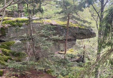
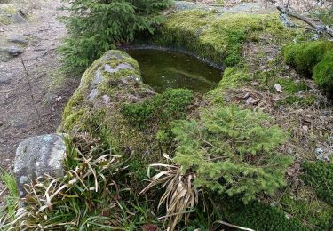
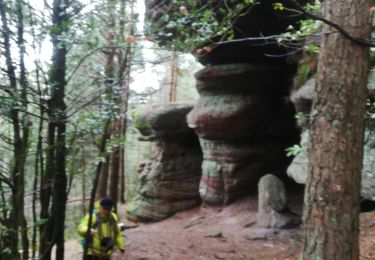
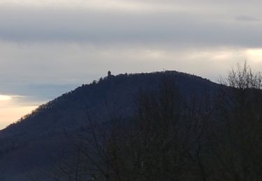
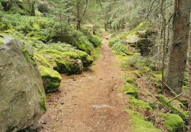
Espace VTT FFC Val d'Argent - Circuit n°11 - Montplaisir Circuit officiel labellisé par la Fédération Française de Cyclisme. Départ : Parking situé à l’arrière de la mairie de Ste-Croix-aux-Mines. Un des plus beaux itinéraires à ce niveau de difficulté. Il offre d’une part, une remarquable variété de profils et de revêtements de chemin et d’autre part, un réel intérêt paysager et patrimonial au passage de Montplaisir (anciennes fermes traditionnelles), la Chapelle de la Hajus et la Nécropole nationale dotées de points de vue panoramique.

Hoogteprofiel

Foto's

Plaatsbepaling

Land:
France
Regio :
Grand Est
Departement/Provincie :
Haut-Rhin
Gemeente :
Sainte-Croix-aux-Mines
Locatie:
Unknown
Vertrek:(Dec)
Vertrek:(UTM)
368390 ; 5346999 (32U) N.

Wandeltochten in de omgeving

Tocht Stappen Breitenau - 2024-07-23_20h26m34_G 12 - Photo
Stappen
LUTZMarc

Stappen

Gemakkelijk
(1)
Breitenau, Grand Est, Bas-Rhin, France
15,4 km | 22 km-effort
4h 59min
Ja
Tocht sport Ribeauvillé - Grande verrerie - Rocher des Géants  - Photo
sport
berni68

sport

Heel gemakkelijk
Ribeauvillé, Grand Est, Haut-Rhin, France
9,3 km | 15,3 km-effort
Onbekend
Neen
Tocht Stappen Sainte-Marie-aux-Mines - taenichel - Photo
Stappen
apa

Stappen

Medium
Sainte-Marie-aux-Mines, Grand Est, Haut-Rhin, France
13,3 km | 19,1 km-effort
5h 26min
Ja
Tocht Stappen Sainte-Marie-aux-Mines - Col du Haut de Ribeauvillé - Rochers des Géants (Rother n°31) - Photo
Stappen
Bart2015

Stappen

Medium
Sainte-Marie-aux-Mines, Grand Est, Haut-Rhin, France
15,3 km | 22 km-effort
3h 56min
Ja
Tocht Stappen Rombach-le-Franc - Col de Fouchy  - Photo
Stappen
apa

Stappen

Medium
Rombach-le-Franc, Grand Est, Haut-Rhin, France
11,8 km | 17,6 km-effort
3h 23min
Ja
Tocht Stappen Lièpvre - Liépvre - Roche des Fées, Roche de Chalmont, Rocher du Coucou, château du Frankenbourg - Photo
Stappen
Bart2015

Stappen

Moeilijk
Lièpvre, Grand Est, Haut-Rhin, France
19,4 km | 31 km-effort
5h 53min
Ja
Tocht Stappen Ribeauvillé - boucle la grande verrerie-roche des 3 tables-roche des reptiles-roche des géants-la grande verrerie  - Photo
Stappen
fbienmuller

Stappen

Medium
(1)
Ribeauvillé, Grand Est, Haut-Rhin, France
15 km | 23 km-effort
4h 24min
Ja
Tocht Stappen Ribeauvillé - 2021-07-17 Marche La Grande Verrerie Taennchel - Photo
Stappen
GUIDE
holtzv

Stappen

Medium
Ribeauvillé, Grand Est, Haut-Rhin, France
13,2 km | 21 km-effort
4h 41min
Ja
Tocht Stappen Thannenkirch - TAENCHEL CCA 200827 - Photo
Stappen
Gatge

Stappen

Heel gemakkelijk
Thannenkirch, Grand Est, Haut-Rhin, France
12,7 km | 18,7 km-effort
5h 2min
Ja


Sluiten
Mijn abonnementen