


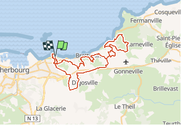

12,2 km | 14,9 km-effort


Gebruiker


Gratisgps-wandelapplicatie
 SityTrail
IGN / Geografische instituten
SityTrail World
De wereld gaat voor u open
Tocht Mountainbike van 34 km beschikbaar op Normandië, Manche, Cherbourg-en-Cotentin. Deze tocht wordt voorgesteld door tracegps.
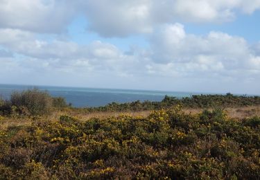
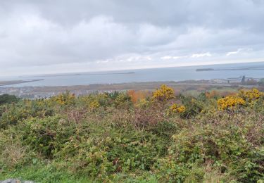
Circuit proposé par le club Les Haguards. Ceux qui font la rando "Les sentiers de la Hague" savent de quelle qualité ça correspond: des singles, du dénivelé, du cailloux, peu de bitume, tout ce qu'attend un vététiste averti^^.
Te voet
Stappen
Wegfiets
Stappen
Mountainbike

Stappen
Stappen
Stappen
Stappen