


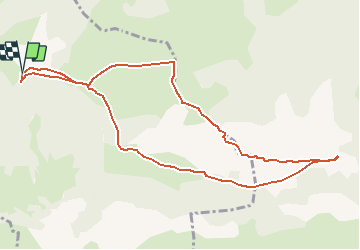

12,2 km | 25 km-effort

Gebruiker


Gratisgps-wandelapplicatie
 SityTrail
IGN / Geografische instituten
SityTrail World
De wereld gaat voor u open
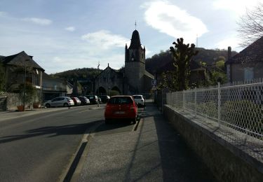
Tocht Stappen van 11,1 km beschikbaar op Nieuw-Aquitanië, Pyrénées-Atlantiques, Castet. Deze tocht wordt voorgesteld door tracegps.
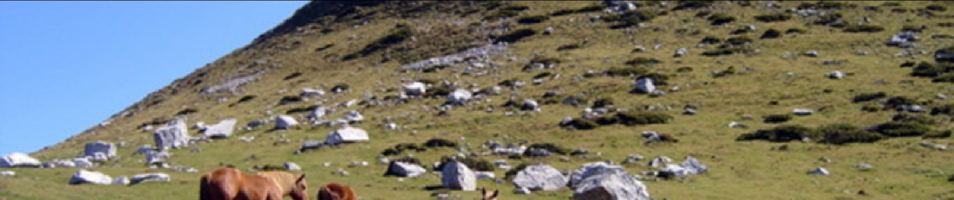
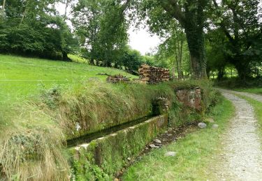
Le circuit se déroule en grande partie sur une crête facile Qui ne nécessite pas de poser les mains. Au départ de la randonnée, plutôt que de traverser la partie boisée, il vaut mieux la contourner de manière à aller rejoindre la crête en lisière du bois.


Stappen

Te voet

Te voet

Te voet
Te voet
Stappen
Stappen
Stappen

Mountainbike