11,8 km | 20 km-effort
Ayzac - Ost
tracegps
Gebruiker
Lengte
64 km
Max. hoogte
734 m
Positief hoogteverschil
1077 m
Km-Effort
78 km
Min. hoogte
385 m
Negatief hoogteverschil
1078 m
Boucle
Ja
Datum van aanmaak :
2014-12-10 00:00:00.0
Laatste wijziging :
2014-12-10 00:00:00.0
2h30
Moeilijkheid : Medium
Gratisgps-wandelapplicatie
Over ons
Tocht Fiets van 64 km beschikbaar op Occitanië, Hautes-Pyrénées, Ayzac-Ost. Deze tocht wordt voorgesteld door tracegps.
Beschrijving
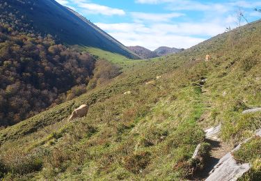
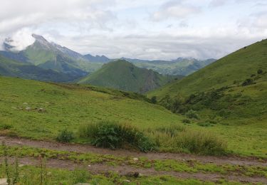
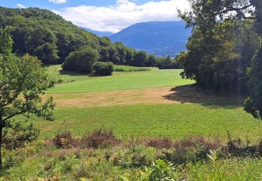
Escapade d'un bourguignon d'adoption dans les Pyrénées.
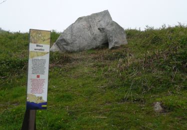
Plaatsbepaling
Land:
France
Regio :
Occitanië
Departement/Provincie :
Hautes-Pyrénées
Gemeente :
Ayzac-Ost
Locatie:
Unknown
Vertrek:(Dec)
Vertrek:(UTM)
736737 ; 4768005 (30T) N.
Opmerkingen
Wandeltochten in de omgeving
Le Mont de Gez en circuit - Argelès Gazost
Stappen
Medium
(1)
Argelès-Gazost,
Occitanië,
Hautes-Pyrénées,
France
4h 30min
Ja
CABALIROS 30 JUIN 2023
Elektrische fiets
Medium
Argelès-Gazost,
Occitanië,
Hautes-Pyrénées,
France
39 km | 57 km-effort
4h 47min
Ja
ARGELES La boucle de l arrieulat
Stappen
Moeilijk
Argelès-Gazost,
Occitanië,
Hautes-Pyrénées,
France
10,3 km | 14,6 km-effort
3h 4min
Ja
ARGELES-GAZOST chateau et lac d'Arcizans depuis l'Arieulat faitG
Stappen
Gemakkelijk
Argelès-Gazost,
Occitanië,
Hautes-Pyrénées,
France
7,9 km | 11,8 km-effort
4h 56min
Ja
ARGELES Mont de Gez G3 fait
Stappen
Medium
Argelès-Gazost,
Occitanië,
Hautes-Pyrénées,
France
10,2 km | 18,3 km-effort
5h 39min
Ja
Ouzous pibeste-fait
Stappen
Medium
(1)
Ouzous,
Occitanië,
Hautes-Pyrénées,
France
11,3 km | 22 km-effort
4h 29min
Ja
Pic du Pibeste
Stappen
Medium
(1)
Ouzous,
Occitanië,
Hautes-Pyrénées,
France
13 km | 25 km-effort
6h 9min
Ja
Escala du Prat du Rey
Stappen
Medium
(1)
Salles,
Occitanië,
Hautes-Pyrénées,
France
11,3 km | 22 km-effort
4h 24min
Ja
col du pré du roi par segus reconnu
Stappen
Moeilijk
Ségus,
Occitanië,
Hautes-Pyrénées,
France
10,4 km | 16,8 km-effort
3h 49min
Ja