


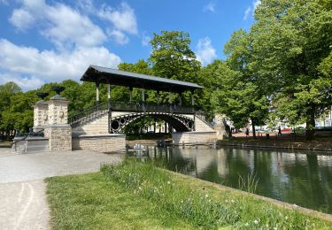
5,5 km | 6,1 km-effort

Gebruiker


Gratisgps-wandelapplicatie
 SityTrail
IGN / Geografische instituten
SityTrail World
De wereld gaat voor u open
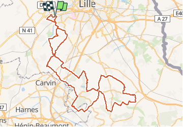
Tocht Fiets van 89 km beschikbaar op Hauts-de-France, Noorderdepartement, Haubourdin. Deze tocht wordt voorgesteld door tracegps.
Circuit du brevet "La Ronde des Copains" organisé par : "LES COPAINS CARGILL" (anciennement Cerestar). Le circuit monte deux fois à Mons en Pévèle.


Stappen

Stappen
Stappen

Stappen

Stappen

Stappen
Stappen
Stappen
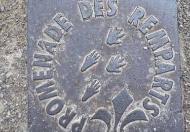
Te voet