

Lozere - Marchastel Le lac des salhiens 17km 190m

RandoVal
Gebruiker

Lengte
17,1 km

Max. hoogte
1280 m

Positief hoogteverschil
312 m

Km-Effort
21 km

Min. hoogte
1150 m

Negatief hoogteverschil
313 m
Boucle
Ja
Datum van aanmaak :
2019-01-15 16:57:25.935
Laatste wijziging :
2019-10-12 07:32:59.659
4h36
Moeilijkheid : Moeilijk

Gratisgps-wandelapplicatie
Over ons
Tocht Stappen van 17,1 km beschikbaar op Occitanië, Lozère, Marchastel. Deze tocht wordt voorgesteld door RandoVal.
Beschrijving
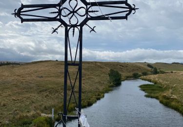
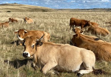
Circuit en Aubrac. Départ de Marchastel, parking dans la village, sens anti-horaire pour le retour par la cascade de Duroc. Pic-nic au bord du lac des Salhiens.
Plaatsbepaling
Land:
France
Regio :
Occitanië
Departement/Provincie :
Lozère
Gemeente :
Marchastel
Locatie:
Unknown
Vertrek:(Dec)
Vertrek:(UTM)
508417 ; 4944133 (31T) N.
Opmerkingen
Wandeltochten in de omgeving

Prinsuejouls GR 65


Stappen
Heel gemakkelijk
(1)
Prinsuéjols-Malbouzon,
Occitanië,
Lozère,
France

15,3 km | 18,4 km-effort
3h 42min
Ja

Rieutort lac san andeol cascade deroc


Stappen
Gemakkelijk
(1)
Marchastel,
Occitanië,
Lozère,
France

17,5 km | 20 km-effort
4h 52min
Ja
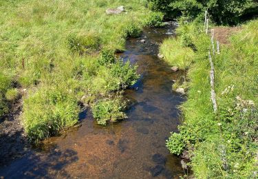
Nasbinals Montorzier Aubrac GR65


Stappen
Medium
Nasbinals,
Occitanië,
Lozère,
France

25 km | 31 km-effort
6h 28min
Ja
Nasbinals


Stappen
Heel gemakkelijk
Nasbinals,
Occitanië,
Lozère,
France

5,8 km | 7,2 km-effort
2h 3min
Neen

Nasbinal - Aubrac


sport
Heel gemakkelijk
(1)
Nasbinals,
Occitanië,
Lozère,
France

42 km | 50 km-effort
Onbekend
Neen
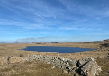
Tour des lacs


Stappen
Gemakkelijk
Nasbinals,
Occitanië,
Lozère,
France

21 km | 25 km-effort
5h 8min
Ja
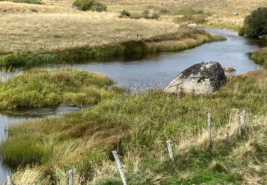
Phot’Aubrac 2023


Stappen
Heel gemakkelijk
Marchastel,
Occitanië,
Lozère,
France

12,6 km | 14,6 km-effort
4h 0min
Ja
Le Bes Rieutord Montgros variante


Stappen
Heel gemakkelijk
Marchastel,
Occitanië,
Lozère,
France

11,6 km | 14,2 km-effort
2h 55min
Ja
Nasbinals col d’Aubrac Montorzier


Stappen
Medium
Nasbinals,
Occitanië,
Lozère,
France

23 km | 28 km-effort
5h 51min
Ja


 SityTrail


