


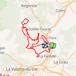

13,1 km | 19,5 km-effort

Gebruiker


Gratisgps-wandelapplicatie
 SityTrail
IGN / Geografische instituten
SityTrail World
De wereld gaat voor u open
Tocht Mountainbike van 42 km beschikbaar op Provence-Alpes-Côte d'Azur, Var, La Farlède. Deze tocht wordt voorgesteld door tracegps.
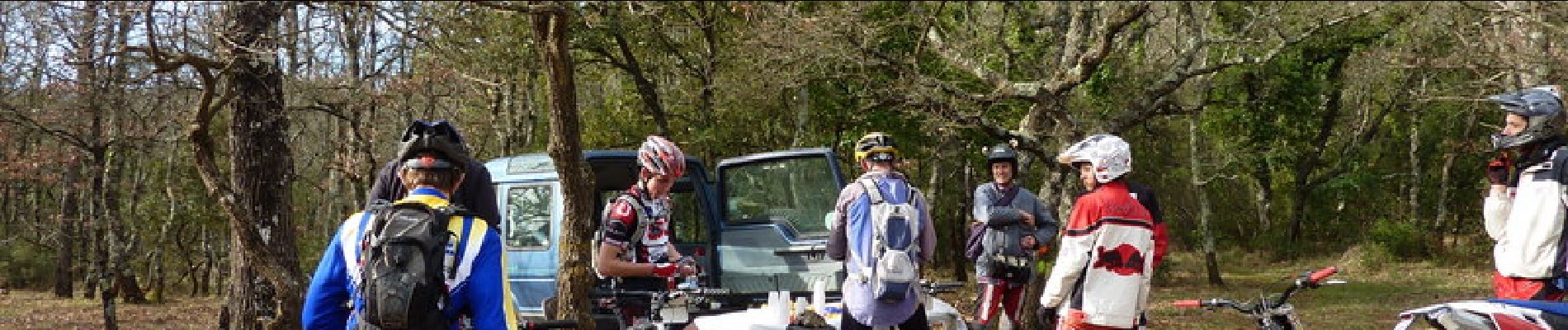
Cool !!! Les Drailles du Reganas vtt var les drailles de reganas partie 1-2 envoyé par sebargos. - Plus de vidéos de sport professionnelle et amateur.


Stappen

Stappen

Stappen

Stappen

Trail

Trail

Trail

Stappen

Fiets