


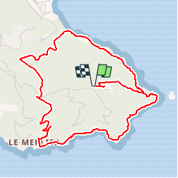

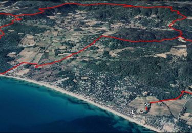
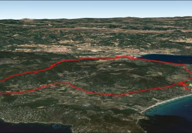
13,2 km | 15,6 km-effort


Gebruiker GUIDE


Gratisgps-wandelapplicatie
 SityTrail
IGN / Geografische instituten
SityTrail World
De wereld gaat voor u open
Tocht Stappen van 6,5 km beschikbaar op Provence-Alpes-Côte d'Azur, Var, Ramatuelle. Deze tocht wordt voorgesteld door lhomme.ph.
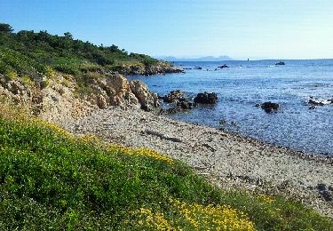
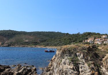
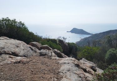
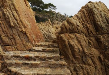
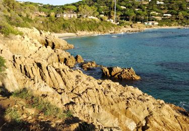
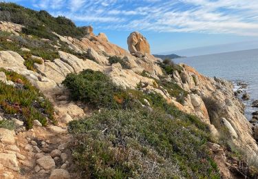
Une balade tout en senteurs et en couleurs, entre falaises et mer, avec un contraste saisissant entre l'exubérance de la végétation et la nudité minérale du cap.
Stappen

Mountainbike
Stappen
Stappen
Elektrische fiets
Stappen
Stappen
Mountainbike
Stappen