


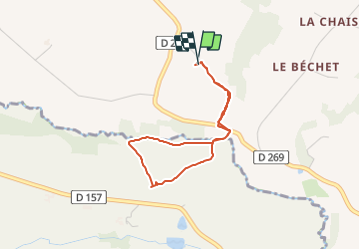

11,2 km | 14,6 km-effort


Gebruiker


Gratisgps-wandelapplicatie
 SityTrail
IGN / Geografische instituten
SityTrail World
De wereld gaat voor u open
Tocht Stappen van 3,1 km beschikbaar op Normandië, Orne, Tinchebray-Bocage. Deze tocht wordt voorgesteld door tracegps.
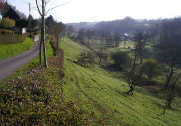
Malgré une faible distance, un dénivelé respectable. En gros, une descente au ruisseau qu'on longe avant de remonter à la Vente Roulleau.
Stappen
Te voet
Stappen

Te voet

Stappen

Mountainbike
Mountainbike
Mountainbike
Mountainbike