


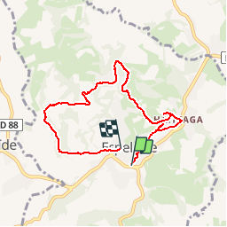

9,2 km | 14,1 km-effort

Gebruiker


Gratisgps-wandelapplicatie
 SityTrail
IGN / Geografische instituten
SityTrail World
De wereld gaat voor u open
Tocht Stappen van 7,6 km beschikbaar op Nieuw-Aquitanië, Pyrénées-Atlantiques, Espelette. Deze tocht wordt voorgesteld door helmut68.
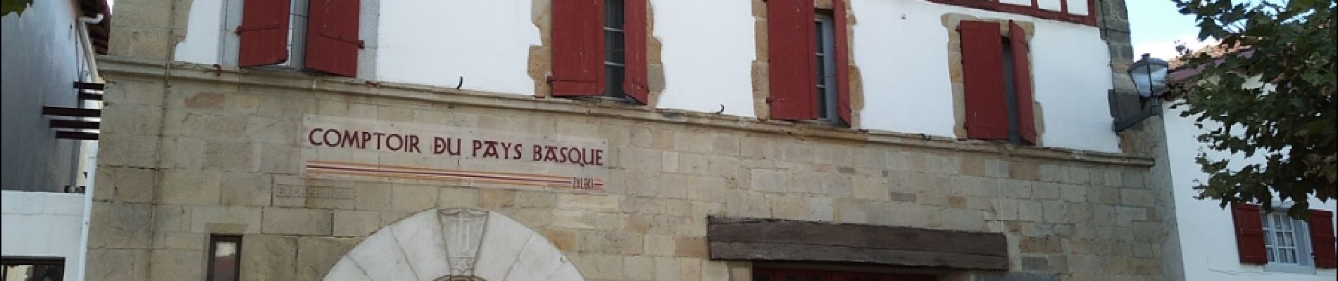
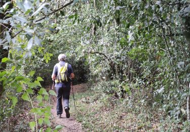
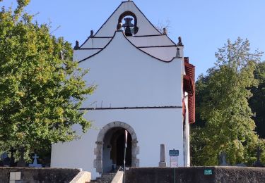
Randonnée qui permet de découvrir les activités du village ( piments,fromage ...), la nature qui l'entoure et les maisons typiquements basques...


Stappen

Stappen

Lopen

Stappen

Stappen

Stappen
Stappen
Stappen

Stappen