


12 km | 16,7 km-effort

Gebruiker


Gratisgps-wandelapplicatie
 SityTrail
IGN / Geografische instituten
SityTrail World
De wereld gaat voor u open
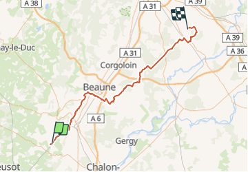
Tocht Mountainbike van 80 km beschikbaar op Bourgondië-Franche-Comté, Saône-et-Loire, Dennevy. Deze tocht wordt voorgesteld door tracegps.
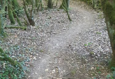
Partir par la voie verte du canal du Centre, en dur et sécurisée, puis suivre la voie des vignes et ses grands crus. Les forêts de la Borne et Cîteaux se traversent sans difficultés par des chemins empierrés, parfois défoncés. Après le canal de Bourgogne, le bois de Tremblot et celui de Grand Bois, vous arriverez à Echigey par des voies herbeuses et terreuses. Si vous êtes en avance, les grands crus que vous traverserez, Chassagne, Puligny Montrachet, Meursault, Volnay, Pommard et autres, méritent une dégustation avant un passage à proximité de l'abbaye de N.D de Cîteau.
 - Breurey lès Faverney (70) - Etape 4/6 - De Dennevy à Echigey - Photo 1")
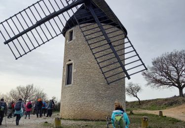
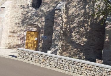
 - Breurey lès Faverney (70) - Etape 4/6 - De Dennevy à Echigey - Photo 2")
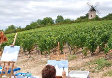
 - Breurey lès Faverney (70) - Etape 4/6 - De Dennevy à Echigey - Photo 3")
 - Breurey lès Faverney (70) - Etape 4/6 - De Dennevy à Echigey - Photo 4")
 - Breurey lès Faverney (70) - Etape 4/6 - De Dennevy à Echigey - Photo 5")
Stappen

Stappen
Te voet
Stappen

Te voet
Stappen
Stappen
Stappen
Stappen