


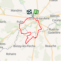

12 km | 13,3 km-effort


Gebruiker


Gratisgps-wandelapplicatie
 SityTrail
IGN / Geografische instituten
SityTrail World
De wereld gaat voor u open
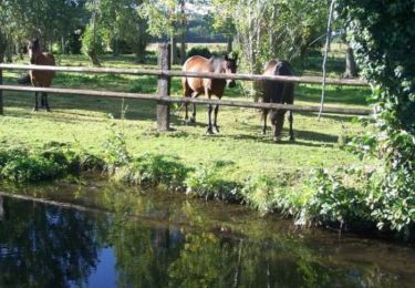
Tocht Mountainbike van 21 km beschikbaar op Normandië, Eure, Verneuil d'Avre et d'Iton. Deze tocht wordt voorgesteld door tracegps.
Bonjour à tous Petit randonnée synthétique de fin d'année dans notre joli département de l'Eure. Bonne rando à tous
Stappen
Stappen
Stappen

Stappen

Te voet
Stappen
Stappen
Stappen

Mountainbike