

Randonnée St Philbert des Champs du 31/01/2010 27 Km

tracegps
Gebruiker

Lengte
22 km

Max. hoogte
155 m

Positief hoogteverschil
316 m

Km-Effort
27 km

Min. hoogte
52 m

Negatief hoogteverschil
319 m
Boucle
Ja
Datum van aanmaak :
2014-12-10 00:00:00.0
Laatste wijziging :
2014-12-10 00:00:00.0
2h15
Moeilijkheid : Moeilijk

Gratisgps-wandelapplicatie
Over ons
Tocht Mountainbike van 22 km beschikbaar op Normandië, Calvados, Saint-Philbert-des-Champs. Deze tocht wordt voorgesteld door tracegps.
Beschrijving
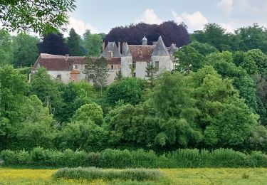
Randonnée de 27 Km au départ de St Philbert des champs, qui passe par Norolle, le Breuil en Auge, Blangy le château et le Brévedent pour se un retour sur St Phibert des Champs. A voit : - Le château de Norolles. - Le centre de Blangy le chateau.
Plaatsbepaling
Land:
France
Regio :
Normandië
Departement/Provincie :
Calvados
Gemeente :
Saint-Philbert-des-Champs
Locatie:
Unknown
Vertrek:(Dec)
Vertrek:(UTM)
302189 ; 5454213 (31U) N.
Opmerkingen
Wandeltochten in de omgeving
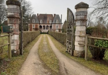
Hermival les Vaux


Stappen
Medium
Hermival-les-Vaux,
Normandië,
Calvados,
France

18,2 km | 22 km-effort
5h 12min
Ja

St Philbert des champs


Stappen
Gemakkelijk
(1)
Saint-Philbert-des-Champs,
Normandië,
Calvados,
France

12,5 km | 14,4 km-effort
2h 22min
Ja
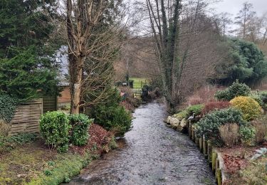
Ouille du Houley


Stappen
Medium
(1)
Ouilly-du-Houley,
Normandië,
Calvados,
France

11,3 km | 14,4 km-effort
3h 9min
Ja
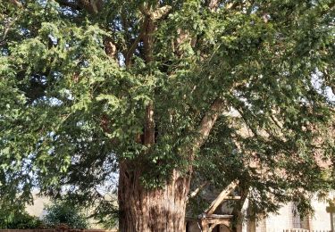
Norolles


Stappen
Gemakkelijk
Norolles,
Normandië,
Calvados,
France

12,1 km | 13,8 km-effort
2h 21min
Ja
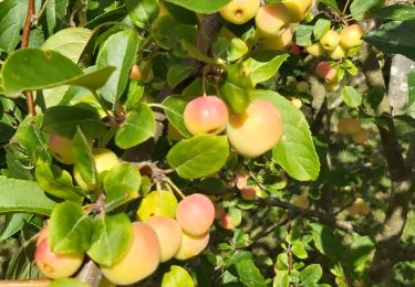
St Philbert des Champs


Stappen
Medium
Saint-Philbert-des-Champs,
Normandië,
Calvados,
France

16,3 km | 18,6 km-effort
3h 12min
Ja

roque


Stappen
Heel gemakkelijk
Hermival-les-Vaux,
Normandië,
Calvados,
France

23 km | 28 km-effort
6h 0min
Ja

Hermival les Veaux


Stappen
Medium
Hermival-les-Vaux,
Normandië,
Calvados,
France

8,1 km | 10,5 km-effort
2h 23min
Ja
Ouille du Houley


Stappen
Medium
Ouilly-du-Houley,
Normandië,
Calvados,
France

9 km | 11,2 km-effort
2h 38min
Neen

chaudron magique


4x4
Heel gemakkelijk
Ouilly-le-Vicomte,
Normandië,
Calvados,
France

104 km | 126 km-effort
7h 33min
Neen


 SityTrail


