


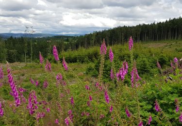
15,1 km | 18,6 km-effort

Gebruiker


Gratisgps-wandelapplicatie
 SityTrail
IGN / Geografische instituten
SityTrail World
De wereld gaat voor u open
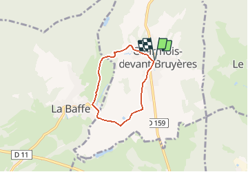
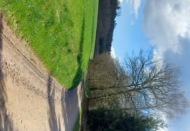
Tocht Mountainbike van 4,4 km beschikbaar op Grand Est, Vogezen, Charmois-devant-Bruyères. Deze tocht wordt voorgesteld door tracegps.
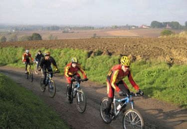
Espace VTT FFC Chemins du Cœur des Vosges - circuit n°67 - Le moulin. Circuit officiel labellisé par la Fédération Française de Cyclisme. Circuit très facile et plat sans aucune difficulté

Te voet
Hybride fiets
Stappen
Hybride fiets
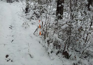
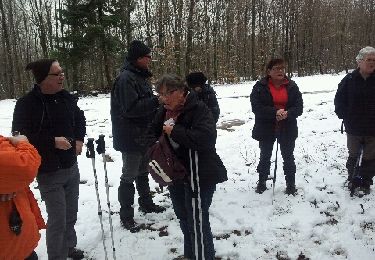
Sneeuwschoenen
Stappen
Mountainbike
Mountainbike