


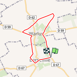

24 km | 26 km-effort

Gebruiker


Gratisgps-wandelapplicatie
 SityTrail
IGN / Geografische instituten
SityTrail World
De wereld gaat voor u open
Tocht Stappen van 5,8 km beschikbaar op Hauts-de-France, Pas-de-Calais, Berneville. Deze tocht wordt voorgesteld door tracegps.
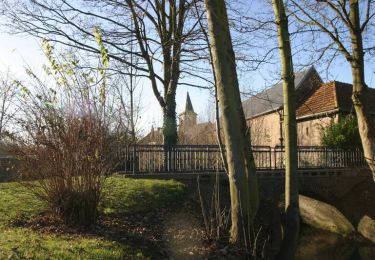
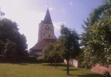
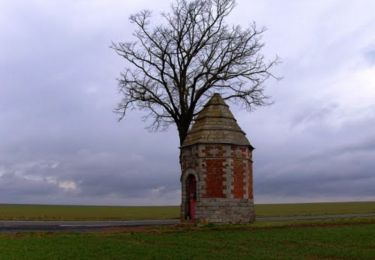
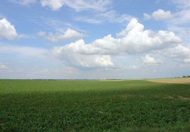
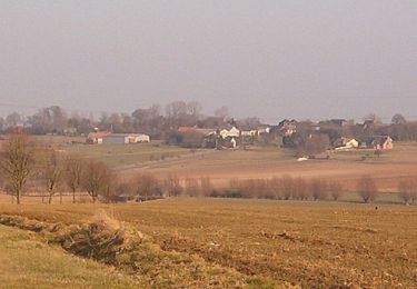
Circuit proposé par la Communauté de Communes des Vertes Vallées. Départ du parking de la salle des fêtes de Berneville. Retrouvez le circuit sur le site de la Communauté de Communes.


Stappen
Stappen
Stappen
Stappen
Stappen
Stappen

Stappen
Stappen
Stappen