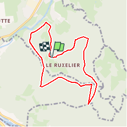

8,2 km | 12,4 km-effort

Gebruiker


Gratisgps-wandelapplicatie
 SityTrail
IGN / Geografische instituten
SityTrail World
De wereld gaat voor u open
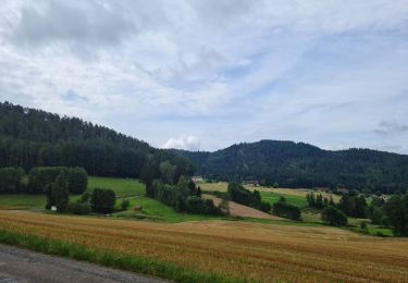
Tocht Mountainbike van 8,1 km beschikbaar op Grand Est, Vogezen, Cheniménil. Deze tocht wordt voorgesteld door tracegps.
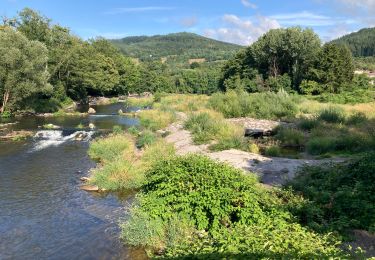
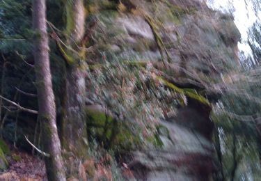
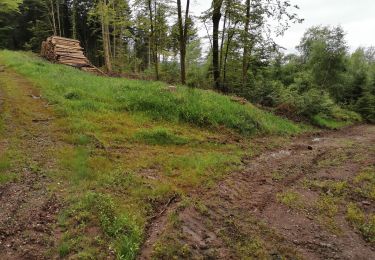
Espace VTT FFC Chemins du Cœur des Vosges - circuit n°34 - Bois Banis Circuit officiel labellisé par la Fédération Française de Cyclisme. Circuit sans difficultés particulières dans le massif du Fossard.

Stappen

Lopen
Stappen

Stappen

Stappen
Hybride fiets
Stappen