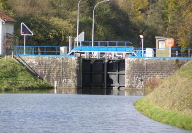
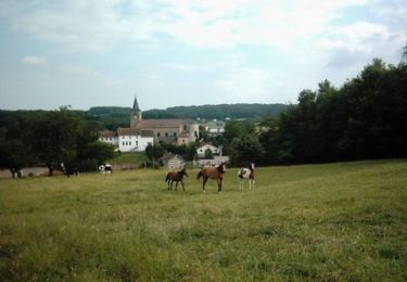
Tocht Mountainbike La Chapelle-aux-Bois - Espace VTT FFC Chemins du Coeur des Vosges - circuit n°19 - Le Rouge Moulin - Photo

Espace VTT FFC Chemins du Coeur des Vosges - circuit n°19 - Le Rouge Moulin

 tracegps
tracegps

Gebruiker

© OpenStreetMap contributors
Lengte
Lengte
26 km
Max. hoogte
Max. hoogte
586 m
Positief hoogteverschil
495 m
Km-Effort
Km-Effort  
33 km
Min. hoogte
Min. hoogte
381 m
Negatief hoogteverschil
498 m
Boucle
Boucle
Ja
Datum van aanmaak :
2014-12-10 00:00:00.0
Laatste wijziging :
2014-12-10 00:00:00.0

(0 Bericht)

Mountainbike
Mountainbike
2h19
Moeilijkheid : Moeilijk

Scan deze QR-code om de tocht te openen in de SityTrail-applicatie

Gratisgps-wandelapplicatie

Logo SityTrail SityTrail

IGN / Geografische instituten

SityTrail uit de App Store downloaden SityTrail uit Google Play downloaden

Logo SityTrail SityTrail World

De wereld gaat voor u open

SityTrail uit de App Store downloaden SityTrail uit Google Play downloaden SityTrail op Huawei AppGallery downloaden

Over ons

Tocht Mountainbike van 26 km beschikbaar op Grand Est, Vogezen, La Chapelle-aux-Bois. Deze tocht wordt voorgesteld door tracegps.

Beschrijving

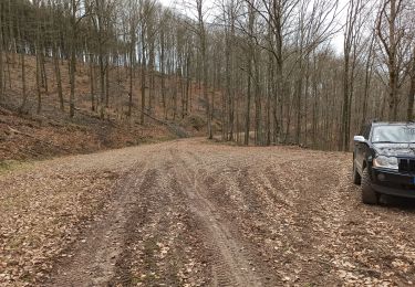
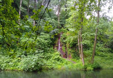
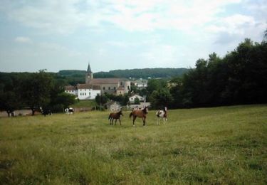
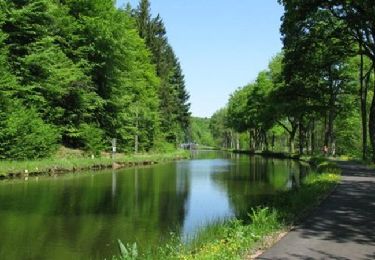
Espace VTT FFC Chemins du Cœur des Vosges - circuit n°19 - Le Rouge Moulin Circuit officiel labellisé par la Fédération Française de Cyclisme. Une première côte soutenue conduit à Haudompré et l’étang de Corbefaing avant de redescendre sur Le Molieu et les Fays Duquin pui remonter vers les Conchets. Une belle descente sur Xertigny qui continue sur La Gare et Amerey avant de revenir à la Chapelle Aux Bois.

Hoogteprofiel

Foto's

Plaatsbepaling

Land:
France
Regio :
Grand Est
Departement/Provincie :
Vogezen
Gemeente :
La Chapelle-aux-Bois
Locatie:
Unknown
Vertrek:(Dec)
Vertrek:(UTM)
301371 ; 5323832 (32U) N.

Wandeltochten in de omgeving

Tocht Stappen Le Clerjus - 13-03-22 piste pour 4x4 et boucle à pied étang de Corbefaing - Photo
Stappen
annefrance70

Stappen

Medium
Le Clerjus, Grand Est, Vogezen, France
9 km | 11,3 km-effort
1h 28min
Neen
Tocht Stappen Les Voivres - étang Lallemand - Photo
Stappen
lacote

Stappen

Medium
Les Voivres, Grand Est, Vogezen, France
8 km | 10,6 km-effort
2h 19min
Ja
Tocht Mountainbike La Chapelle-aux-Bois - Espace VTT FFC Chemins du Coeur des Vosges - circuit n°18 - Le Grand Bois - Photo
Mountainbike
tracegps

Mountainbike

Gemakkelijk
La Chapelle-aux-Bois, Grand Est, Vogezen, France
11,7 km | 14,5 km-effort
49min
Ja
Tocht Mountainbike Les Voivres - Espace VTT FFC Chemins du Coeur des Vosges - circuit n°2 - Les Chicottes - Photo
Mountainbike
tracegps

Mountainbike

Moeilijk
Les Voivres, Grand Est, Vogezen, France
21 km | 27 km-effort
2h 0min
Ja
Tocht Mountainbike Les Voivres - Espace VTT FFC Chemins du Coeur des Vosges - circuit n°1 - La Chèvre - Photo
Mountainbike
tracegps

Mountainbike

Gemakkelijk
Les Voivres, Grand Est, Vogezen, France
10,2 km | 12,7 km-effort
1h 0min
Ja
Tocht Mountainbike La Chapelle-aux-Bois - Espace VTT FFC Chemins du Coeur des Vosges - circuit n°20 - La Vierge des Neiges - Photo
Mountainbike
tracegps

Mountainbike

Moeilijk
La Chapelle-aux-Bois, Grand Est, Vogezen, France
17,3 km | 22 km-effort
1h 30min
Ja
Tocht Stappen Xertigny - Cirkwi-Les_Woodies - Photo
Stappen
Emmanuel Remy

Stappen

Medium
Xertigny, Grand Est, Vogezen, France
7,9 km | 10 km-effort
2h 16min
Ja
Tocht Stappen Xertigny - Cirkwi-Le_Hazot - Photo
Stappen
Emmanuel Remy

Stappen

Moeilijk
Xertigny, Grand Est, Vogezen, France
11,3 km | 14,5 km-effort
3h 17min
Ja
Tocht Stappen Xertigny - Cirkwi-Le_Tabourin - Photo
Stappen
Emmanuel Remy

Stappen

Medium
Xertigny, Grand Est, Vogezen, France
4,6 km | 6 km-effort
1h 22min
Ja


Sluiten
Mijn abonnementen