


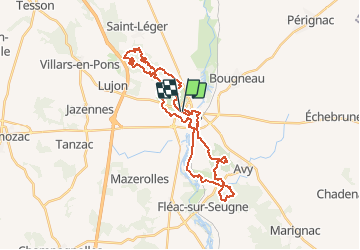

10,9 km | 12,4 km-effort

Gebruiker


Gratisgps-wandelapplicatie
 SityTrail
IGN / Geografische instituten
SityTrail World
De wereld gaat voor u open
Tocht Mountainbike van 34 km beschikbaar op Nieuw-Aquitanië, Charente-Maritime, Pons. Deze tocht wordt voorgesteld door tracegps.
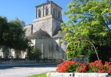
Départ depuis la place de l'Europe,la première boucle(sud-est)est très agréable et roulante,la seconde (nord-ouest) plus technique. Suivre la trace GPS , @ Michel

Stappen
Stappen
Stappen
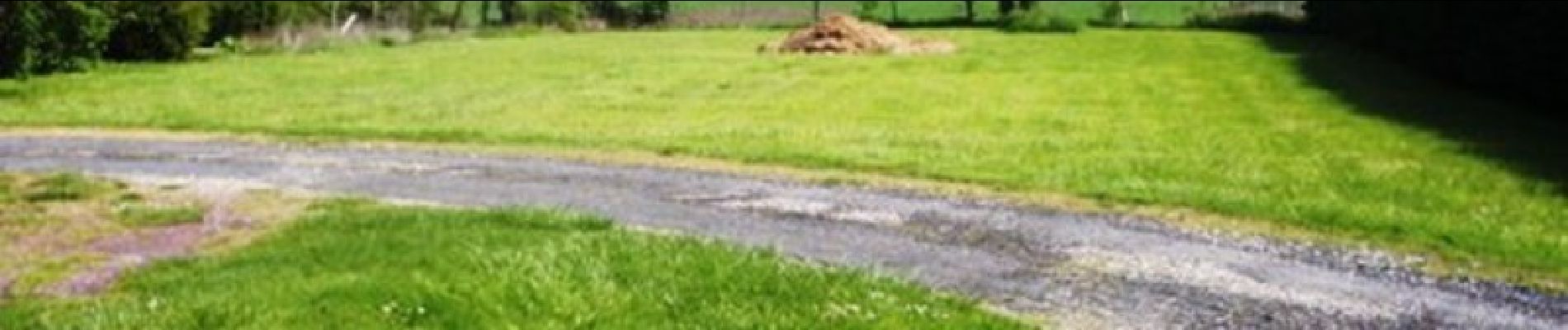
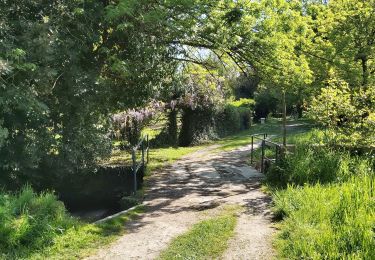
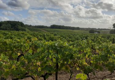
Mountainbike
Stappen
Stappen

Stappen
Stappen
Stappen