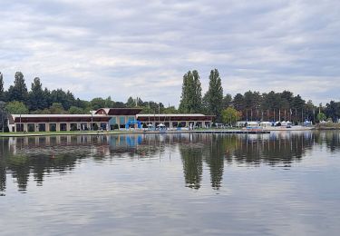
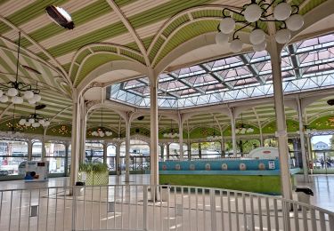
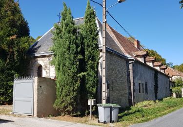
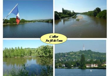
Tocht Fiets Vichy - Vichy Oleron Rochefort - Photo

Vichy Oleron Rochefort

 tracegps
tracegps

Gebruiker

© OpenStreetMap contributors
Lengte
Lengte
551 km
Max. hoogte
Max. hoogte
730 m
Positief hoogteverschil
6543 m
Km-Effort
Km-Effort  
639 km
Min. hoogte
Min. hoogte
-3 m
Negatief hoogteverschil
6797 m
Boucle
Boucle
Neen
Datum van aanmaak :
2014-12-10 00:00:00.0
Laatste wijziging :
2014-12-10 00:00:00.0

(0 Bericht)

Fiets
Fiets
50h00
Moeilijkheid : Medium

Scan deze QR-code om de tocht te openen in de SityTrail-applicatie

Gratisgps-wandelapplicatie

Logo SityTrail SityTrail

IGN / Geografische instituten

SityTrail uit de App Store downloaden SityTrail uit Google Play downloaden

Logo SityTrail SityTrail World

De wereld gaat voor u open

SityTrail uit de App Store downloaden SityTrail uit Google Play downloaden SityTrail op Huawei AppGallery downloaden

Over ons

Tocht Fiets van 551 km beschikbaar op Auvergne-Rhône-Alpes, Allier, Vichy. Deze tocht wordt voorgesteld door tracegps.

Beschrijving

Periple en trike   chambres d'hôtes pour traverser la France et passer quelques jours sur l'ile d'Oléron

Hoogteprofiel

Foto's

POI's

POI Crazannes - 001 - Photo
tracegps
CRAZANNES 
POI Vichy - 1 bis etape Vi - Photo
tracegps
POI Vichy - 1 etape Vichy - Photo
tracegps
POI Buxières-sous-Montaigut - 2 etape Vichy - Photo
tracegps
BUXIÈRES-SOUS-MONTAIGUT 
POI Chénérailles - 3 etape Vich 1 - Photo
tracegps
CHÉNÉRAILLES 
POI Chénérailles - 3 etape Vichy - Photo
tracegps
CHÉNÉRAILLES 
POI Bessines-sur-Gartempe - 4bis etape Vic - Photo
tracegps
BESSINES-SUR-GARTEMPE 
POI Confolens - 5 etape Vich 1 - Photo
tracegps
CONFOLENS 
POI Confolens - 5 etape Vichy - Photo
tracegps
CONFOLENS 
POI Marcillac-Lanville - 6 etape Vichy - Photo
tracegps
MARCILLAC-LANVILLE 
POI Plassay - 7 etape Vichy - Photo
tracegps
PLASSAY 

Plaatsbepaling

Land:
France
Regio :
Auvergne-Rhône-Alpes
Departement/Provincie :
Allier
Gemeente :
Vichy
Locatie:
Unknown
Vertrek:(Dec)
Vertrek:(UTM)
532856 ; 5107357 (31T) N.

Wandeltochten in de omgeving

Tocht Stappen Bellerive-sur-Allier - Tour du lac d'Allier - Photo
Stappen
rigol05

Stappen

Gemakkelijk
Bellerive-sur-Allier, Auvergne-Rhône-Alpes, Allier, France
7,1 km | 7,6 km-effort
1h 54min
Ja
Tocht Stappen Vichy - A la découverte de Vichy - Photo
Stappen
rigol05

Stappen

Gemakkelijk
Vichy, Auvergne-Rhône-Alpes, Allier, France
10 km | 11 km-effort
2h 29min
Ja
Tocht Lopen Bellerive-sur-Allier - jour 9 CAP Jeanot - Photo
Lopen
jeannat

Lopen

Heel gemakkelijk
Bellerive-sur-Allier, Auvergne-Rhône-Alpes, Allier, France
29 km | 33 km-effort
3h 5min
Neen
Tocht Mountainbike Bellerive-sur-Allier - VTT - L'Évasion Bellerivoise - Bellerive sur Allier - Photo
Mountainbike
tracegps

Mountainbike

Moeilijk
Bellerive-sur-Allier, Auvergne-Rhône-Alpes, Allier, France
57 km | 67 km-effort
3h 45min
Ja
Tocht Mountainbike Vichy - Rives et Boires de l'Allier - Photo
Mountainbike
tracegps

Mountainbike

Gemakkelijk
(1)
Vichy, Auvergne-Rhône-Alpes, Allier, France
19,9 km | 21 km-effort
1h 45min
Ja
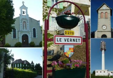
Tocht Stappen Le Vernet - Les 2 vallées: de l'Allier et du Sichon) - Photo
Stappen
tracegps

Stappen

Medium
(1)
Le Vernet, Auvergne-Rhône-Alpes, Allier, France
10,3 km | 13,1 km-effort
2h 30min
Ja
Tocht Stappen Le Vernet - Les Bois Dieux - Photo
Stappen
Geronimo2010

Stappen

Medium
(1)
Le Vernet, Auvergne-Rhône-Alpes, Allier, France
7,8 km | 10,7 km-effort
2h 9min
Ja
Tocht Quad Bellerive-sur-Allier - reco - Photo
Quad
Daniel Dufour 2

Quad

Heel gemakkelijk
Bellerive-sur-Allier, Auvergne-Rhône-Alpes, Allier, France
245 km | 316 km-effort
52h 51min
Neen
Tocht Stappen Vichy -
Stappen
jeriom

Stappen

Medium
Vichy, Auvergne-Rhône-Alpes, Allier, France
6 km | 6,4 km-effort
1h 5min
Ja


Sluiten
Mijn abonnementen