


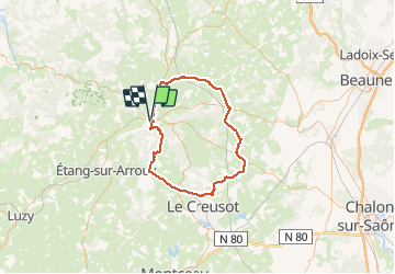


18,2 km | 24 km-effort


Gebruiker


Gratisgps-wandelapplicatie
 SityTrail
IGN / Geografische instituten
SityTrail World
De wereld gaat voor u open
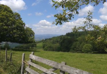
Tocht Fiets van 79 km beschikbaar op Bourgondië-Franche-Comté, Saône-et-Loire, Autun. Deze tocht wordt voorgesteld door tracegps.
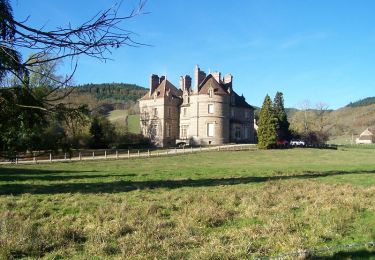
De AUTUN à Sully par DRACY, puis rejoindre la Drée , 30 km pour se mettre en jambe et aborder un faux plat qui conduit à la 1ere difficulté. Passée celle ci ne pas lésiner pour rejoindre la côte finale "Côte de Broye" bien connue des Autunnois, en haut de laquelle on effectue très rapidement une bascule sur Autun avec une vue panoramique que j'apprécie pour ma part à chaque fois. Descente très rapide... attention aux véhicules montants.
Stappen
Te voet
Fietstoerisme

Te voet
Fiets
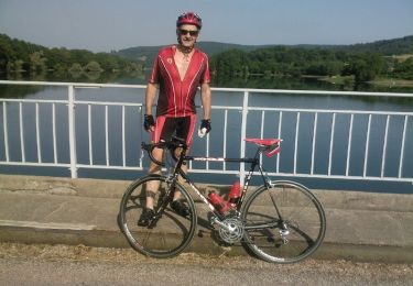
Fiets
Fiets
Mountainbike

Wegfiets