

Montagne de Lure

tracegps
Gebruiker

Lengte
133 km

Max. hoogte
1749 m

Positief hoogteverschil
2893 m

Km-Effort
172 km

Min. hoogte
506 m

Negatief hoogteverschil
2893 m
Boucle
Ja
Datum van aanmaak :
2014-12-10 00:00:00.0
Laatste wijziging :
2014-12-10 00:00:00.0
6h00
Moeilijkheid : Moeilijk

Gratisgps-wandelapplicatie
Over ons
Tocht Fiets van 133 km beschikbaar op Provence-Alpes-Côte d'Azur, Vaucluse, Sault. Deze tocht wordt voorgesteld door tracegps.
Beschrijving
Boucle départ Sault direction Banon, St Etienne les Orgues, montée de la montagne Lure 1° moitié dure passage pas de la Graille descente sur la vallée du Jabron, Montfroc , col de Macuègne et col de l'homme mort, retour sur Sault.
POI's
Plaatsbepaling
Land:
France
Regio :
Provence-Alpes-Côte d'Azur
Departement/Provincie :
Vaucluse
Gemeente :
Sault
Locatie:
Unknown
Vertrek:(Dec)
Vertrek:(UTM)
694022 ; 4886113 (31T) N.
Opmerkingen
Wandeltochten in de omgeving
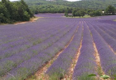
Sault - Le plateau d'Albion


Stappen
Gemakkelijk
(1)
Sault,
Provence-Alpes-Côte d'Azur,
Vaucluse,
France

12,6 km | 16,5 km-effort
3h 25min
Ja
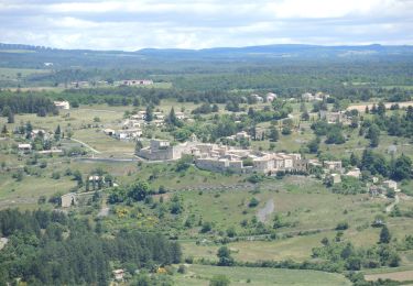
PF-Aurel - Le Ventouret


Stappen
Gemakkelijk
Aurel,
Provence-Alpes-Côte d'Azur,
Vaucluse,
France

12,3 km | 19,1 km-effort
3h 56min
Ja
Monieux la Nesque


Stappen
Medium
Monieux,
Provence-Alpes-Côte d'Azur,
Vaucluse,
France

7,1 km | 9,2 km-effort
2h 25min
Ja
sault, saint trinit, aurel, sault


Stappen
Medium
Sault,
Provence-Alpes-Côte d'Azur,
Vaucluse,
France

17,1 km | 21 km-effort
6h 45min
Ja
Le chemin des lavandes


Te voet
Gemakkelijk
Sault,
Provence-Alpes-Côte d'Azur,
Vaucluse,
France

5 km | 6 km-effort
1h 21min
Neen

GTVAU-J4-Long


Mountainbike
Zeer moeilijk
(1)
Aurel,
Provence-Alpes-Côte d'Azur,
Vaucluse,
France

68 km | 89 km-effort
6h 9min
Neen
Entre Sault et la Tour de Durefort


Mountainbike
Medium
Sault,
Provence-Alpes-Côte d'Azur,
Vaucluse,
France

15,1 km | 20 km-effort
1h 30min
Ja
Entre Sault et la Tour de Durefort


Stappen
Medium
Sault,
Provence-Alpes-Côte d'Azur,
Vaucluse,
France

15,1 km | 20 km-effort
4h 0min
Ja

Circuit Vélo - Le Plateau d'Albion - Sault


Fiets
Medium
Sault,
Provence-Alpes-Côte d'Azur,
Vaucluse,
France

32 km | 39 km-effort
2h 30min
Ja


 SityTrail


