


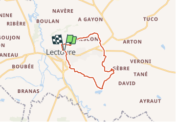

18,8 km | 24 km-effort


Gebruiker


Gratisgps-wandelapplicatie
 SityTrail
IGN / Geografische instituten
SityTrail World
De wereld gaat voor u open
Tocht Mountainbike van 11,2 km beschikbaar op Occitanië, Gers, Lectoure. Deze tocht wordt voorgesteld door tracegps.
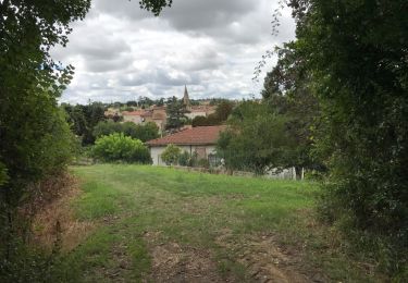
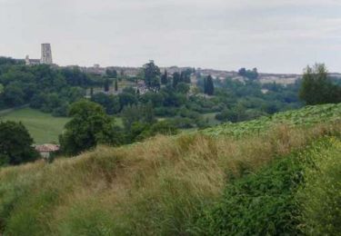
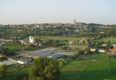
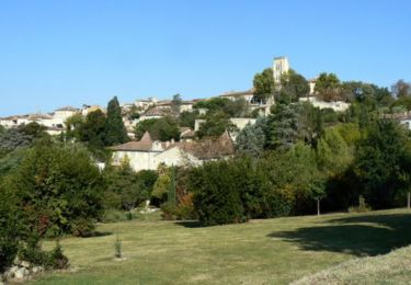
Espace VTT FFC Vallons du Lectourois cœur de Gascogne - Lectoure - Circuit n°4. Circuit officiel labellisé par la Fédération Française de Cyclisme. Circuit de 12 Kms pour apprécier la Vallée du Touron typique du pays Lectourois. Circuit numérisé par la Communauté de Communes de la Lomagne Gersoise.


Stappen
Stappen
Stappen

Stappen
Stappen
Stappen
Stappen

Stappen