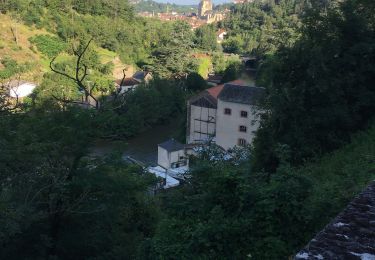
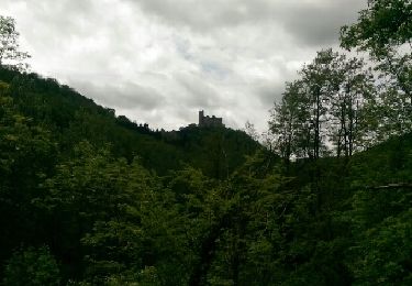
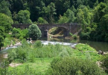
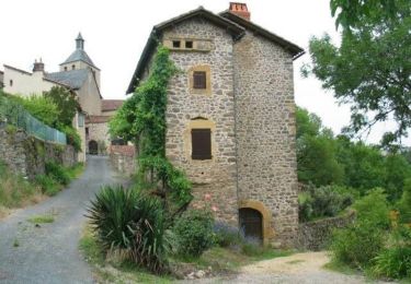
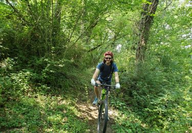
Tocht Mountainbike Villefranche-de-Rouergue - Un circuit des Givrés à Villefranche de Rouergue - Photo

Un circuit des Givrés à Villefranche de Rouergue

 tracegps
tracegps

Gebruiker

© OpenStreetMap contributors
Lengte
Lengte
55 km
Max. hoogte
Max. hoogte
422 m
Positief hoogteverschil
997 m
Km-Effort
Km-Effort  
68 km
Min. hoogte
Min. hoogte
212 m
Negatief hoogteverschil
995 m
Boucle
Boucle
Ja
Datum van aanmaak :
2014-12-10 00:00:00.0
Laatste wijziging :
2014-12-10 00:00:00.0

(0 Bericht)

Mountainbike
Mountainbike
5h00
Moeilijkheid : Moeilijk

Scan deze QR-code om de tocht te openen in de SityTrail-applicatie

Gratisgps-wandelapplicatie

Logo SityTrail SityTrail

IGN / Geografische instituten

SityTrail uit de App Store downloaden SityTrail uit Google Play downloaden

Logo SityTrail SityTrail World

De wereld gaat voor u open

SityTrail uit de App Store downloaden SityTrail uit Google Play downloaden SityTrail op Huawei AppGallery downloaden

Over ons

Tocht Mountainbike van 55 km beschikbaar op Occitanië, Aveyron, Villefranche-de-Rouergue. Deze tocht wordt voorgesteld door tracegps.

Beschrijving

Encore pour vous un bon moyen de parcourir et découvrir l'Aveyron et ses magnifiques chemins et sentiers variés. Comme vous pouvez le voir, certaines portions sont pour la plupart peu fréquentées voir même inconnues de la majorité, et pour cause, les chemins empruntés sont totalement inconnus des cartographies IGN et autre. Alors bonne balade à tous!

Hoogteprofiel

Foto's

Plaatsbepaling

Land:
France
Regio :
Occitanië
Departement/Provincie :
Aveyron
Gemeente :
Villefranche-de-Rouergue
Locatie:
Unknown
Vertrek:(Dec)
Vertrek:(UTM)
420213 ; 4911754 (31T) N.

Wandeltochten in de omgeving

Tocht Hybride fiets Villefranche-de-Rouergue - VTC  Villefranche - Vailhourles  - Photo
Hybride fiets
Levillefranchois

Hybride fiets

Gemakkelijk
(1)
Villefranche-de-Rouergue, Occitanië, Aveyron, France
32 km | 40 km-effort
Onbekend
Ja
Tocht Stappen Villefranche-de-Rouergue - villefranche de rouergue - Photo
Stappen
betf

Stappen

Gemakkelijk
(2)
Villefranche-de-Rouergue, Occitanië, Aveyron, France
10,9 km | 15,3 km-effort
3h 19min
Ja
Tocht Wegfiets Villefranche-de-Rouergue - Gorges Aveyron - Photo
Wegfiets
ALAIN3859

Wegfiets

Moeilijk
(1)
Villefranche-de-Rouergue, Occitanië, Aveyron, France
29 km | 37 km-effort
2h 15min
Ja
Tocht Stappen Villefranche-de-Rouergue - Villefranche de Rouergur - Photo
Stappen
richardsimopons

Stappen

Villefranche-de-Rouergue, Occitanië, Aveyron, France
5,8 km | 8,2 km-effort
1h 26min
Ja
Tocht Stappen Villefranche-de-Rouergue - Compostelle : 3-Villefranche-de-Rouergue - Najac - Photo
Stappen
prv

Stappen

Heel gemakkelijk
Villefranche-de-Rouergue, Occitanië, Aveyron, France
24 km | 32 km-effort
5h 53min
Neen
Tocht Fiets Villefranche-de-Rouergue - Savoureuse balade au pays des bastides du Rouergue -  Villefranche de Rouergue - Photo
Fiets
tracegps

Fiets

Moeilijk
Villefranche-de-Rouergue, Occitanië, Aveyron, France
60 km | 78 km-effort
3h 49min
Ja
Tocht Fiets Villefranche-de-Rouergue - Circuit de Villefranche de Rouergue - Foissac - Photo
Fiets
tracegps

Fiets

Moeilijk
Villefranche-de-Rouergue, Occitanië, Aveyron, France
76 km | 93 km-effort
5h 49min
Ja
Tocht Mountainbike Villefranche-de-Rouergue - 12-villefranche-givres - Photo
Mountainbike
mapomme

Mountainbike

Heel gemakkelijk
(3)
Villefranche-de-Rouergue, Occitanië, Aveyron, France
55 km | 68 km-effort
Onbekend
Ja
Tocht Mountainbike Villefranche-de-Rouergue - villefranche  - Photo
Mountainbike
jdaviere

Mountainbike

Medium
Villefranche-de-Rouergue, Occitanië, Aveyron, France
17,8 km | 23 km-effort
1h 54min
Neen


Sluiten
Mijn abonnementen