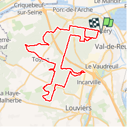

10,9 km | 12,5 km-effort


Gebruiker


Gratisgps-wandelapplicatie
 SityTrail
IGN / Geografische instituten
SityTrail World
De wereld gaat voor u open
Tocht Mountainbike van 42 km beschikbaar op Normandië, Eure, Léry. Deze tocht wordt voorgesteld door tracegps.
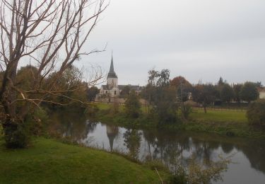
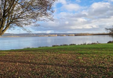
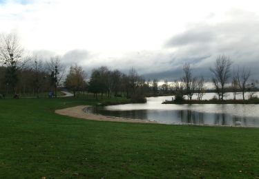
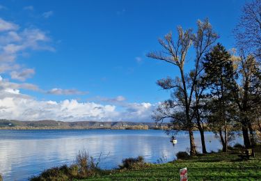
Parcours varié, alternance entre la forêt et les chemins de campagne. Pour le parking, vous avez le centre équestre. Enfin juste un peu au dessus pour vous garer.

Trail

Stappen
Stappen

sport
Stappen
Stappen
Stappen
Stappen