

Vers, St Gery Vallée du Lot

tracegps
Gebruiker

Lengte
14,1 km

Max. hoogte
319 m

Positief hoogteverschil
429 m

Km-Effort
19,8 km

Min. hoogte
120 m

Negatief hoogteverschil
423 m
Boucle
Ja
Datum van aanmaak :
2014-12-10 00:00:00.0
Laatste wijziging :
2014-12-10 00:00:00.0
4h00
Moeilijkheid : Moeilijk

Gratisgps-wandelapplicatie
Over ons
Tocht Stappen van 14,1 km beschikbaar op Occitanië, Lot, Saint-Géry-Vers. Deze tocht wordt voorgesteld door tracegps.
Beschrijving
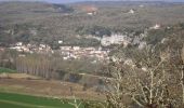
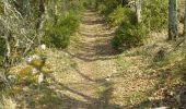
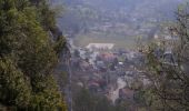
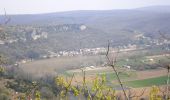
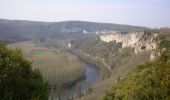
Départ Place Eglise de Vers. Regagner le plateau par de magnifiques chemins et sentiers. Rejoindre dans la Vallée St GERY, traverser le LOT, passer à PASTURAT. Continuer sur le plateau et revenir à VERS après avoir traversé BEARS.
Plaatsbepaling
Land:
France
Regio :
Occitanië
Departement/Provincie :
Lot
Gemeente :
Saint-Géry-Vers
Locatie:
Unknown
Vertrek:(Dec)
Vertrek:(UTM)
385057 ; 4926918 (31T) N.
Opmerkingen
Wandeltochten in de omgeving
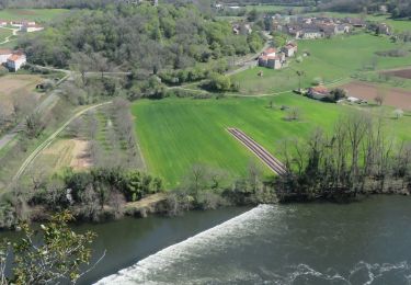
Causse de Vers-7539719


Stappen
Moeilijk
(1)
Saint-Géry-Vers,
Occitanië,
Lot,
France

11,6 km | 15,9 km-effort
3h 36min
Ja
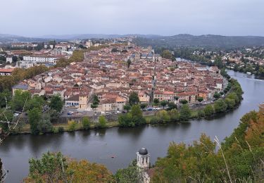
Étape 5 Les Mazuts Cahen


Stappen
Medium
Arcambal,
Occitanië,
Lot,
France

16,9 km | 21 km-effort
4h 40min
Neen
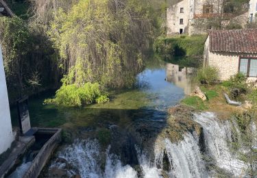
Boucle Vers - Merlan gr46


Stappen
Gemakkelijk
Saint-Géry-Vers,
Occitanië,
Lot,
France

14,7 km | 19,3 km-effort
4h 21min
Ja
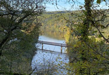
Galessie les Mazuts Barouillet


Stappen
Heel gemakkelijk
Arcambal,
Occitanië,
Lot,
France

10,7 km | 13,9 km-effort
2h 30min
Ja
Vers merlan pech picou


Stappen
Heel gemakkelijk
Saint-Géry-Vers,
Occitanië,
Lot,
France

10,2 km | 13,5 km-effort
2h 13min
Neen
St gery St cirq Cabreret


Elektrische fiets
Heel gemakkelijk
Saint-Géry-Vers,
Occitanië,
Lot,
France

39 km | 51 km-effort
3h 24min
Ja

Moulin de Nouaillac


Stappen
Medium
(1)
Saint-Géry-Vers,
Occitanië,
Lot,
France

13,3 km | 18,5 km-effort
4h 0min
Ja
QUERCY (Nouaillac)


Stappen
Gemakkelijk
Saint-Géry-Vers,
Occitanië,
Lot,
France

11,7 km | 15,4 km-effort
3h 19min
Ja
QUERCY (St-Géry)


Stappen
Heel gemakkelijk
Saint-Géry-Vers,
Occitanië,
Lot,
France

6,1 km | 7,3 km-effort
1h 40min
Ja


 SityTrail



Fait le 11/11 avec Bene joli sentier