


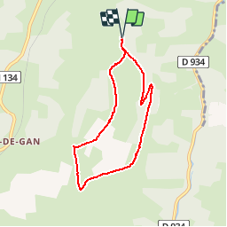

9,8 km | 13,1 km-effort

Gebruiker


Gratisgps-wandelapplicatie
 SityTrail
IGN / Geografische instituten
SityTrail World
De wereld gaat voor u open
Tocht Stappen van 7 km beschikbaar op Nieuw-Aquitanië, Pyrénées-Atlantiques, Gan. Deze tocht wordt voorgesteld door tracegps.
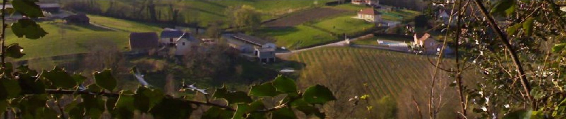
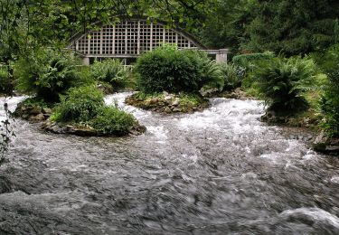
Coteau méconnu et peu fréquenté qui réserve de très belles vues sur les Pyrénées. Accès : prendre à gauche 2,5 km après la sortie de Gan en direction d'Oloron. Continuer sur 1,5 km et se garer au niveau d'un abribus.


Te voet
Stappen

Stappen
Andere activiteiten
Te voet
Mountainbike
Stappen
Te voet

Stappen