

Coteaux de St Faust de Bas

tracegps
Gebruiker

Lengte
7,6 km

Max. hoogte
322 m

Positief hoogteverschil
175 m

Km-Effort
9,9 km

Min. hoogte
169 m

Negatief hoogteverschil
173 m
Boucle
Ja
Datum van aanmaak :
2014-12-10 00:00:00.0
Laatste wijziging :
2014-12-10 00:00:00.0
2h00
Moeilijkheid : Gemakkelijk

Gratisgps-wandelapplicatie
Over ons
Tocht Stappen van 7,6 km beschikbaar op Nieuw-Aquitanië, Pyrénées-Atlantiques, Saint-Faust. Deze tocht wordt voorgesteld door tracegps.
Beschrijving
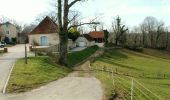
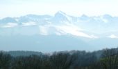
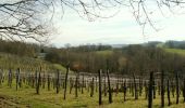
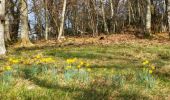
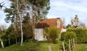
Petite balade facile avec un assemblage de parcours dans les bois, puis dans un vallon isolé avant de terminer en beauté sur une crête offrant une vue admirable des Pyrénées depuis le vignoble des coteaux jurançonnais.
Plaatsbepaling
Land:
France
Regio :
Nieuw-Aquitanië
Departement/Provincie :
Pyrénées-Atlantiques
Gemeente :
Saint-Faust
Locatie:
Unknown
Vertrek:(Dec)
Vertrek:(UTM)
706556 ; 4796679 (30T) N.
Opmerkingen
Wandeltochten in de omgeving

Lescar du 2018-06-24


Te voet
Heel gemakkelijk
(1)
Lescar,
Nieuw-Aquitanië,
Pyrénées-Atlantiques,
France

7,6 km | 8,6 km-effort
Onbekend
Ja
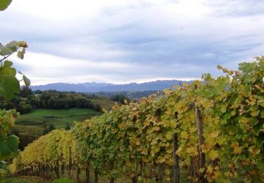
Les vignes en terrasses des collines de Jurançon


Stappen
Moeilijk
(3)
Laroin,
Nieuw-Aquitanië,
Pyrénées-Atlantiques,
France

19,6 km | 27 km-effort
5h 0min
Ja
ARBUS boucle du bois de bas M2 reco


Stappen
Medium
Arbus,
Nieuw-Aquitanië,
Pyrénées-Atlantiques,
France

7,9 km | 11,2 km-effort
2h 42min
Ja
AUBERTIN (PPT) de la hélère à la baïse fait (G3) 2641287


Stappen
Gemakkelijk
Aubertin,
Nieuw-Aquitanië,
Pyrénées-Atlantiques,
France

12 km | 17,1 km-effort
3h 13min
Ja
ARBUS Le cap d Arrandes N° 47 balisage et signaletique verticale fait le 15/0...


Stappen
Gemakkelijk
Arbus,
Nieuw-Aquitanië,
Pyrénées-Atlantiques,
France

4 km | 5,9 km-effort
2h 33min
Ja
BILLÈRE RS Du golf au chateau de Pau 4079692


Stappen
Gemakkelijk
Billère,
Nieuw-Aquitanië,
Pyrénées-Atlantiques,
France

4,2 km | 4,9 km-effort
1h 32min
Ja
ARTIGUELOUVE LA COMMANDE GR653 G4


Stappen
Medium
Artiguelouve,
Nieuw-Aquitanië,
Pyrénées-Atlantiques,
France

8,4 km | 11 km-effort
2h 29min
Neen

LONS RS Les vignes 3273591


Stappen
Gemakkelijk
Lons,
Nieuw-Aquitanië,
Pyrénées-Atlantiques,
France

4 km | 4,8 km-effort
1h 10min
Ja
LESCAR de la cité à la nature


Stappen
Medium
Lescar,
Nieuw-Aquitanië,
Pyrénées-Atlantiques,
France

7,7 km | 8,6 km-effort
1h 59min
Ja


 SityTrail




trop de routes
bien les chemins a pied ou en velo