

Le Cambre d'Ase

tracegps
Gebruiker

Lengte
8,9 km

Max. hoogte
2730 m

Positief hoogteverschil
955 m

Km-Effort
22 km

Min. hoogte
1794 m

Negatief hoogteverschil
951 m
Boucle
Ja
Datum van aanmaak :
2014-12-10 00:00:00.0
Laatste wijziging :
2014-12-10 00:00:00.0
4h00
Moeilijkheid : Moeilijk

Gratisgps-wandelapplicatie
Over ons
Tocht Stappen van 8,9 km beschikbaar op Occitanië, Pyrénées-Orientales, Eyne. Deze tocht wordt voorgesteld door tracegps.
Beschrijving
Belle randonnée qui domine Font Romeu et MontLouis. Départ raide sur les pistes de ski mais qui devient plus facile sur la deuxième partie. Vue sur l'Espagne au sommet.
Plaatsbepaling
Land:
France
Regio :
Occitanië
Departement/Provincie :
Pyrénées-Orientales
Gemeente :
Eyne
Locatie:
Unknown
Vertrek:(Dec)
Vertrek:(UTM)
426349 ; 4703081 (31T) N.
Opmerkingen
Wandeltochten in de omgeving
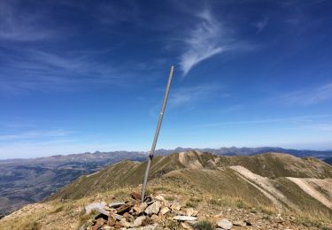
Eyne,col de Nuria,pic d'Eyne,Torre d'Eyne,Eyne.


Stappen
Zeer moeilijk
(1)
Eyne,
Occitanië,
Pyrénées-Orientales,
France

24 km | 43 km-effort
8h 44min
Ja
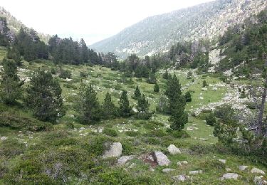
étang de Planès


Stappen
Medium
(2)
Planès,
Occitanië,
Pyrénées-Orientales,
France

10,8 km | 19,6 km-effort
3h 54min
Neen
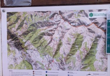
Vallée d'Eyne


Stappen
Medium
Eyne,
Occitanië,
Pyrénées-Orientales,
France

10,7 km | 17,6 km-effort
4h 40min
Ja
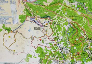
bolqueres


Stappen
Heel gemakkelijk
(1)
Bolquère,
Occitanië,
Pyrénées-Orientales,
France

3,8 km | 4,6 km-effort
1h 1min
Ja
Mois pontpedrouse après montée en train jaune


Stappen
Heel gemakkelijk
La Cabanasse,
Occitanië,
Pyrénées-Orientales,
France

9,2 km | 14,3 km-effort
3h 33min
Neen

bains de St Thomas


Stappen
Medium
(1)
Saint-Pierre-dels-Forcats,
Occitanië,
Pyrénées-Orientales,
France

8,6 km | 12,2 km-effort
2h 42min
Neen

eyne


Stappen
Medium
(2)
Eyne,
Occitanië,
Pyrénées-Orientales,
France

6,2 km | 8,2 km-effort
2h 1min
Ja
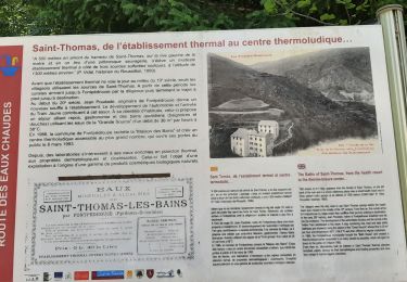
train jaune 01


Stappen
Moeilijk
La Cabanasse,
Occitanië,
Pyrénées-Orientales,
France

11,1 km | 15,1 km-effort
5h 3min
Neen
La borde


sport
Heel gemakkelijk
La Llagonne,
Occitanië,
Pyrénées-Orientales,
France

7,3 km | 8,2 km-effort
Onbekend
Neen


 SityTrail



excellente application !