


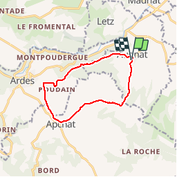

10,3 km | 14,8 km-effort

Gebruiker


Gratisgps-wandelapplicatie
 SityTrail
IGN / Geografische instituten
SityTrail World
De wereld gaat voor u open
Tocht Mountainbike van 11,1 km beschikbaar op Auvergne-Rhône-Alpes, Puy-de-Dôme, Augnat. Deze tocht wordt voorgesteld door tracegps.
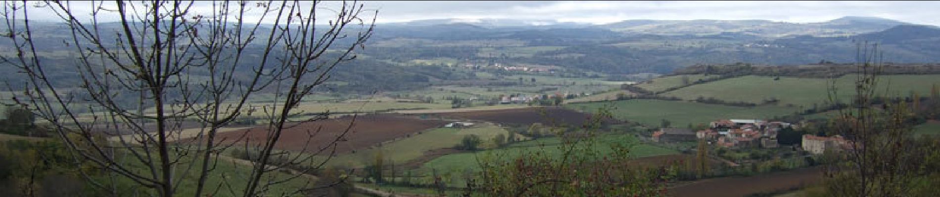
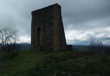
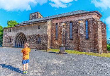
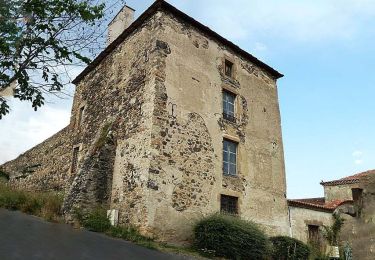
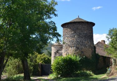
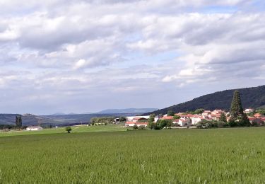
Cette balade en limite sud du Lembron mène à la découverte des villages d'Augnat, Ardes et Apchat riches d'un patrimoine civil et religieux ancien. Balade numérisée sur le terrain par Jean louis Phillipart. Retrouvez cette randonnée dans le topo Guide Chamina Lembron et Pays des Couzes.

Stappen

Te voet
Te voet
Te voet

Fiets
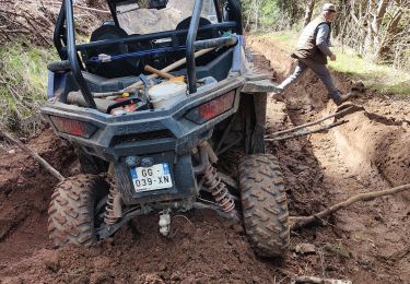
Quad
Stappen

Te voet
Stappen