


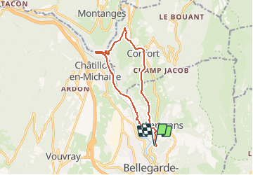

25 km | 34 km-effort

Gebruiker


Gratisgps-wandelapplicatie
 SityTrail
IGN / Geografische instituten
SityTrail World
De wereld gaat voor u open
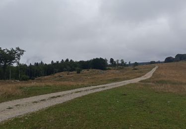
Tocht Mountainbike van 13,1 km beschikbaar op Auvergne-Rhône-Alpes, Ain, Valserhône. Deze tocht wordt voorgesteld door tracegps.
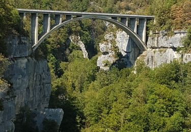
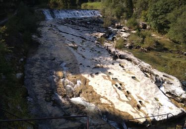
Espace VTT FFC Entre Jura et Léman Circuit officiel labellisé par la Fédération Française de Cyclisme. L'espace VTT FFC Pays de Gex Bellegarde regroupe 13 circuits VTT au départ de 5 sites, répartis sur tout le territoire. Parcours plus long et plus technique, mais sans difficulté majeure, le circuit revient le long de la Valserine. Pour tout renseignement sur la pratique du VTT sur le Pays de Gex-Bellegarde, contacter Bruno LADET à bladet chez ccpg point fr

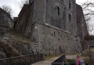
Stappen
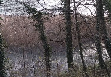
Stappen
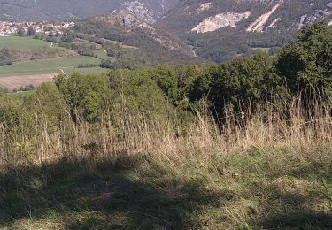
Stappen
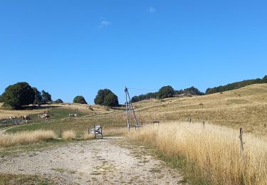
Stappen
Stappen
Stappen
Stappen
Stappen
Stappen