

Ajaccio --> Bonifacio - Etape 1

tracegps
Gebruiker


4h00
Moeilijkheid : Moeilijk

Gratisgps-wandelapplicatie
Over ons
Tocht Fiets van 33 km beschikbaar op Corsica, Corse-du-Sud, Ajaccio. Deze tocht wordt voorgesteld door tracegps.
Beschrijving
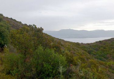
** Etape 1 - Ajaccio --> Portigliolo ** Longueur cartographique = 33,288 Km Circuit de 158Km utilisant dans la mesure du possible des voies secondaires carrossables dans des paysages côtiers et montagneux superbes. Les 5 étapes sont à titre indicatifs et sont modulables en fonction du physique et des hébergements. Les autres étapes : ** Etape 2 - Portigliolo --> Serra-di-Ferro ** Longueur cartographique = 23,259 Km ** Etape 3 - Serra-di-Ferro --> Propriano ** Longueur cartographique = 20,094 Km ** Etape 4 - Propriano --> Sartène ** Longueur cartographique = 30,199 Km ** Etape 5 - Sartène --> Bonifacio ** Longueur cartographique = 51,526 Km
Plaatsbepaling
Opmerkingen
Wandeltochten in de omgeving
Stappen


Lopen


Fiets


Fiets


Stappen

Te voet

Stappen

Stappen

Stappen


 SityTrail


