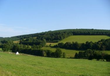
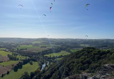
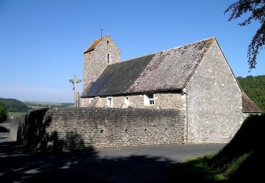
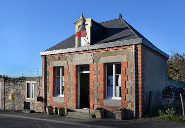
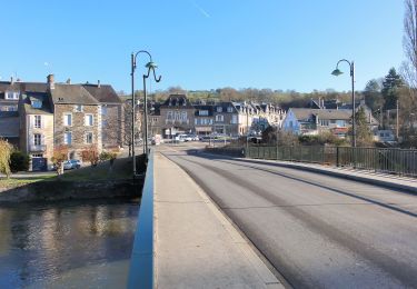
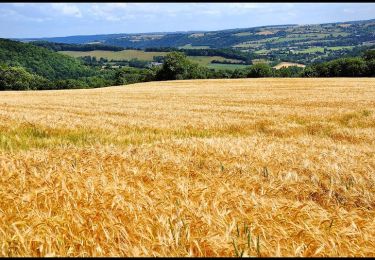
Tocht Mountainbike Clécy - Clecy - l'Eminence - Le Pain de Sucre - Photo

Clecy - l'Eminence - Le Pain de Sucre

 tracegps
tracegps

Gebruiker

© OpenStreetMap contributors
Lengte
Lengte
27 km
Max. hoogte
Max. hoogte
232 m
Positief hoogteverschil
908 m
Km-Effort
Km-Effort  
39 km
Min. hoogte
Min. hoogte
32 m
Negatief hoogteverschil
908 m
Boucle
Boucle
Ja
Datum van aanmaak :
2014-12-10 00:00:00.0
Laatste wijziging :
2014-12-10 00:00:00.0

(0 Bericht)

Mountainbike
Mountainbike
2h45
Moeilijkheid : Zeer moeilijk

Scan deze QR-code om de tocht te openen in de SityTrail-applicatie

Gratisgps-wandelapplicatie

Logo SityTrail SityTrail

IGN / Geografische instituten

SityTrail uit de App Store downloaden SityTrail uit Google Play downloaden

Logo SityTrail SityTrail World

De wereld gaat voor u open

SityTrail uit de App Store downloaden SityTrail uit Google Play downloaden SityTrail op Huawei AppGallery downloaden

Over ons

Tocht Mountainbike van 27 km beschikbaar op Normandië, Calvados, Clécy. Deze tocht wordt voorgesteld door tracegps.

Beschrijving

Encore un circuit en Suisse Normande... Celui-ci vous fera découvrir l'éminence, butte proche de Clecy en passant par le fabuleux "Pain de sucre". A pied, le circuit nécessite la journée. N'oubliez pas votre appareil photo, il servira ! A vélo, je vous déconseille de partir seul (conseil valable pour toutes les randos mais particulièrement pour celle-ci) car il y a des passages très dangereux. Comme bien souvent dans cette région, le dénivelé est assez important pour le calvados... Il compense largement le faible kilométrage !

Hoogteprofiel

Plaatsbepaling

Land:
France
Regio :
Normandië
Departement/Provincie :
Calvados
Gemeente :
Clécy
Locatie:
Unknown
Vertrek:(Dec)
Vertrek:(UTM)
684426 ; 5421238 (30U) N.

Wandeltochten in de omgeving

Tocht Mountainbike Saint-Omer - Espace VTT FFC de Suisse Normande - Circuit 11 - Saint Omer - Photo
Mountainbike
tracegps

Mountainbike

Zeer moeilijk
(1)
Saint-Omer, Normandië, Calvados, France
25 km | 34 km-effort
3h 0min
Ja
Tocht Stappen Le Vey - Clécy - Photo
Stappen
zefreefly

Stappen

Gemakkelijk
(1)
Le Vey, Normandië, Calvados, France
14,8 km | 20 km-effort
3h 51min
Ja
Tocht Te voet Culey-le-Patry - Le Mouin du Fay - Photo
Te voet
GUIDE+

Te voet

Gemakkelijk
Culey-le-Patry, Normandië, Calvados, France
4,8 km | 6,7 km-effort
1h 31min
Neen
Tocht Te voet Le Bô - Des Montagnes de Normandie? - Photo
Te voet
GUIDE+

Te voet

Medium
Le Bô, Normandië, Calvados, France
15,4 km | 20 km-effort
4h 38min
Neen
Tocht Te voet Esson - La Chapelle Bonne Nouvelle - Photo
Te voet
GUIDE+

Te voet

Gemakkelijk
Esson, Normandië, Calvados, France
9,5 km | 13,3 km-effort
3h 1min
Ja
Tocht Te voet La Pommeraye - Les Rochers de Briesvieille - Photo
Te voet
GUIDE+

Te voet

Gemakkelijk
(1)
La Pommeraye, Normandië, Calvados, France
9,1 km | 12,9 km-effort
2h 55min
Neen
Tocht Te voet Le Bô - Le Moulin à Papier - Photo
Te voet
GUIDE+

Te voet

Gemakkelijk
Le Bô, Normandië, Calvados, France
7,1 km | 9,6 km-effort
2h 11min
Ja
Tocht Te voet Esson - GRP Tour de la Suisse Normande - Photo
Te voet
GUIDE+

Te voet

Moeilijk
Esson, Normandië, Calvados, France
25 km | 35 km-effort
7h 58min
Neen
Tocht Mountainbike Saint-Rémy - VTT Suisse Normande N°10 - St Rémy sur Orne - Photo
Mountainbike
tracegps

Mountainbike

Gemakkelijk
Saint-Rémy, Normandië, Calvados, France
15,8 km | 20 km-effort
1h 30min
Ja


Sluiten
Mijn abonnementen