


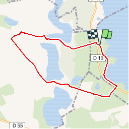

7,2 km | 8 km-effort

Gebruiker


Gratisgps-wandelapplicatie
 SityTrail
IGN / Geografische instituten
SityTrail World
De wereld gaat voor u open
Tocht Mountainbike van 7,2 km beschikbaar op Grand Est, Marne, Giffaumont-Champaubert. Deze tocht wordt voorgesteld door tracegps.
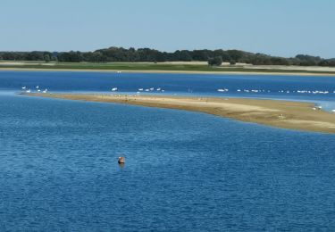
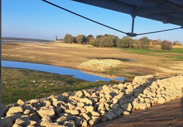
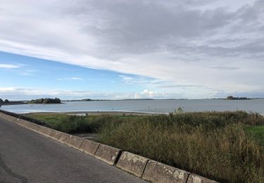
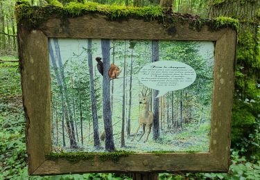
Espace VTT - FFC Lac du Der en Champagne Circuit officiel labellisé par la Fédération Française de Cyclisme. Pénétrez dans le monde fascinant des étangs construits par les moines au Moyen Age...


Stappen
Te voet
Stappen
Stappen
Stappen
Stappen

sport
sport
Stappen