


19,5 km | 22 km-effort

Gebruiker


Gratisgps-wandelapplicatie
 SityTrail
IGN / Geografische instituten
SityTrail World
De wereld gaat voor u open
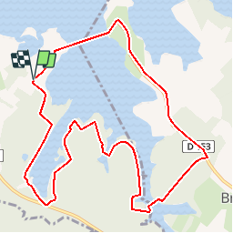
Tocht Mountainbike van 11,2 km beschikbaar op Grand Est, Marne, Giffaumont-Champaubert. Deze tocht wordt voorgesteld door tracegps.
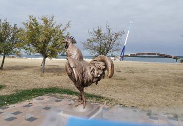
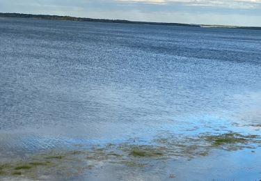
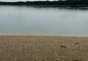
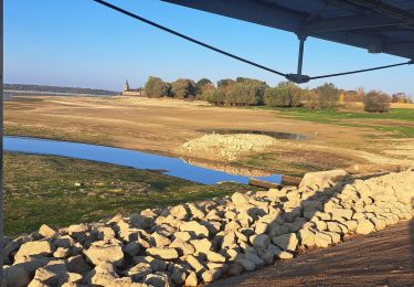
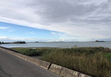
Espace VTT - FFC Lac du Der en Champagne Circuit officiel labellisé par la Fédération Française de Cyclisme. La balade à VTT au Pays du Lac du Der vous invite à un voyage insolite au bord de mer intérieure de 77 Km de rivages, posée dans un écrin de verdure. Prenez le temps de découvrir le charme des églises à pans de bois et d'observer la nature qui vous entoure, vous aurez alors l'occasion d'apercevoir chevreuils, faucons crécerelles, chats sauvages ou encore des milliers de grues cendrées. Cette balade vous emmène faire le tour d'un plan d'eau vaste de 230 hectares associant les trois composantes du lac de Der; la forêt, la terre et l'eau.

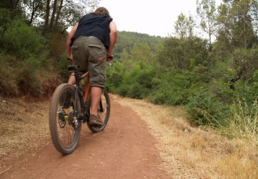
Mountainbike

Mountainbike
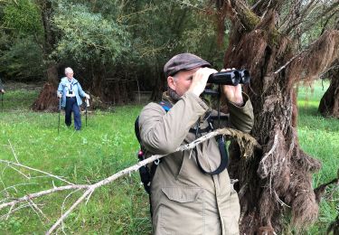
Stappen
Stappen
Wegfiets
Stappen

Stappen
Stappen

sport