


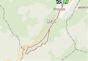

15,1 km | 21 km-effort

Gebruiker


Gratisgps-wandelapplicatie
 SityTrail
IGN / Geografische instituten
SityTrail World
De wereld gaat voor u open
Tocht Mountainbike van 7,5 km beschikbaar op Occitanië, Ariège, Prades. Deze tocht wordt voorgesteld door tracegps.
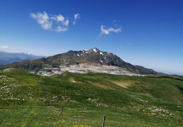
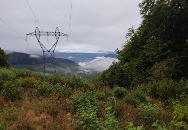
Espace VTT - FFC Vallées d’Ax Circuit officiel labellisé par la Fédération Française de Cyclisme. Circulez au cœur du pays d'Aillou au milieu d'anciens chemins empierrés, en lisière de forêt et au bord de l'Hers. La Communauté de Communes se dégage de toute responsabilité concernant l'utilisation de parcours non balisés. Pour toute remarque sur le site VTT-FFC , adressez-vous à la Communauté de Communes des Vallées d'Ax au : cdcvalleesdax.montagne@wanadoo.fr

Stappen
Stappen
Stappen
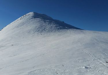
Sneeuwschoenen
Stappen
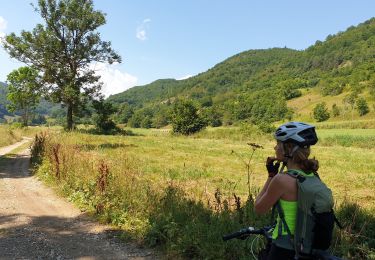
Mountainbike
Stappen
Stappen
Stappen